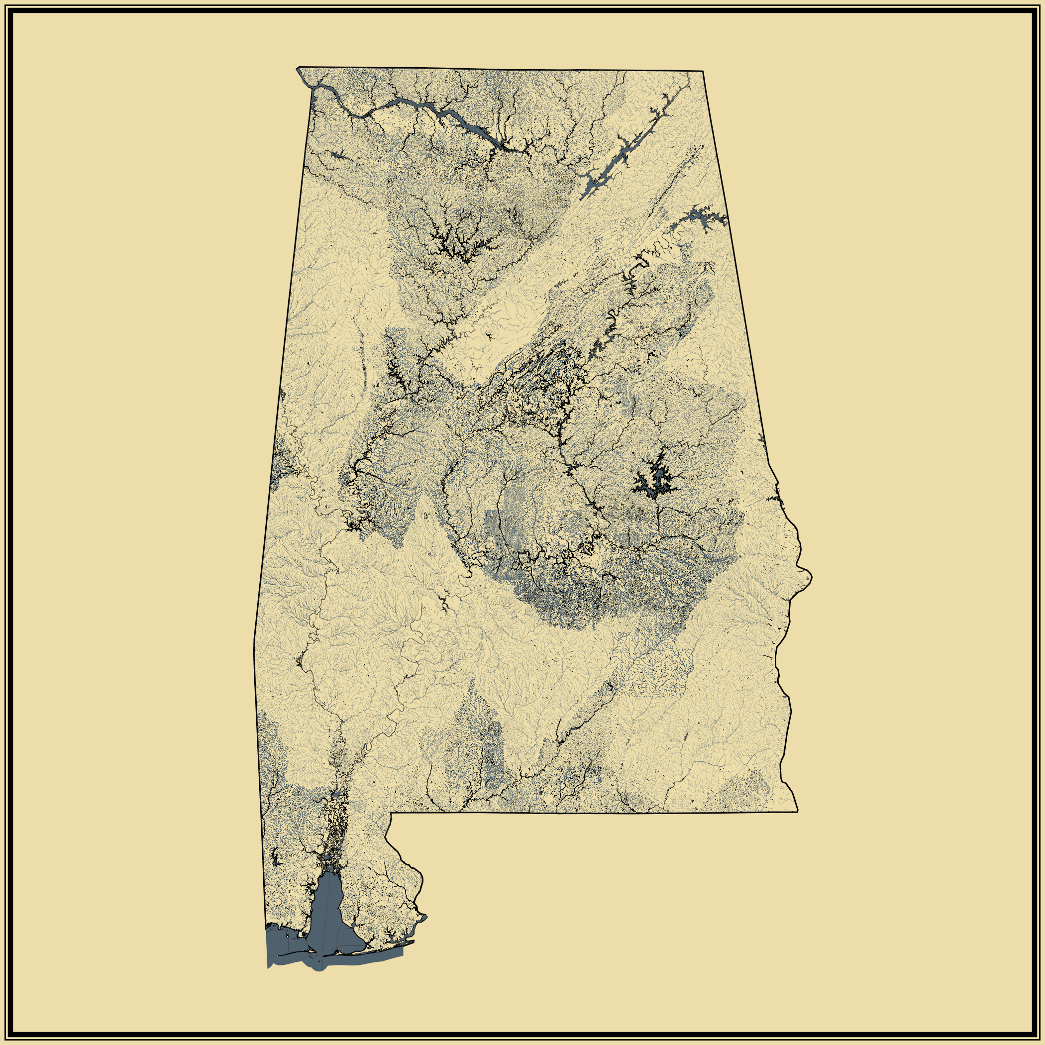

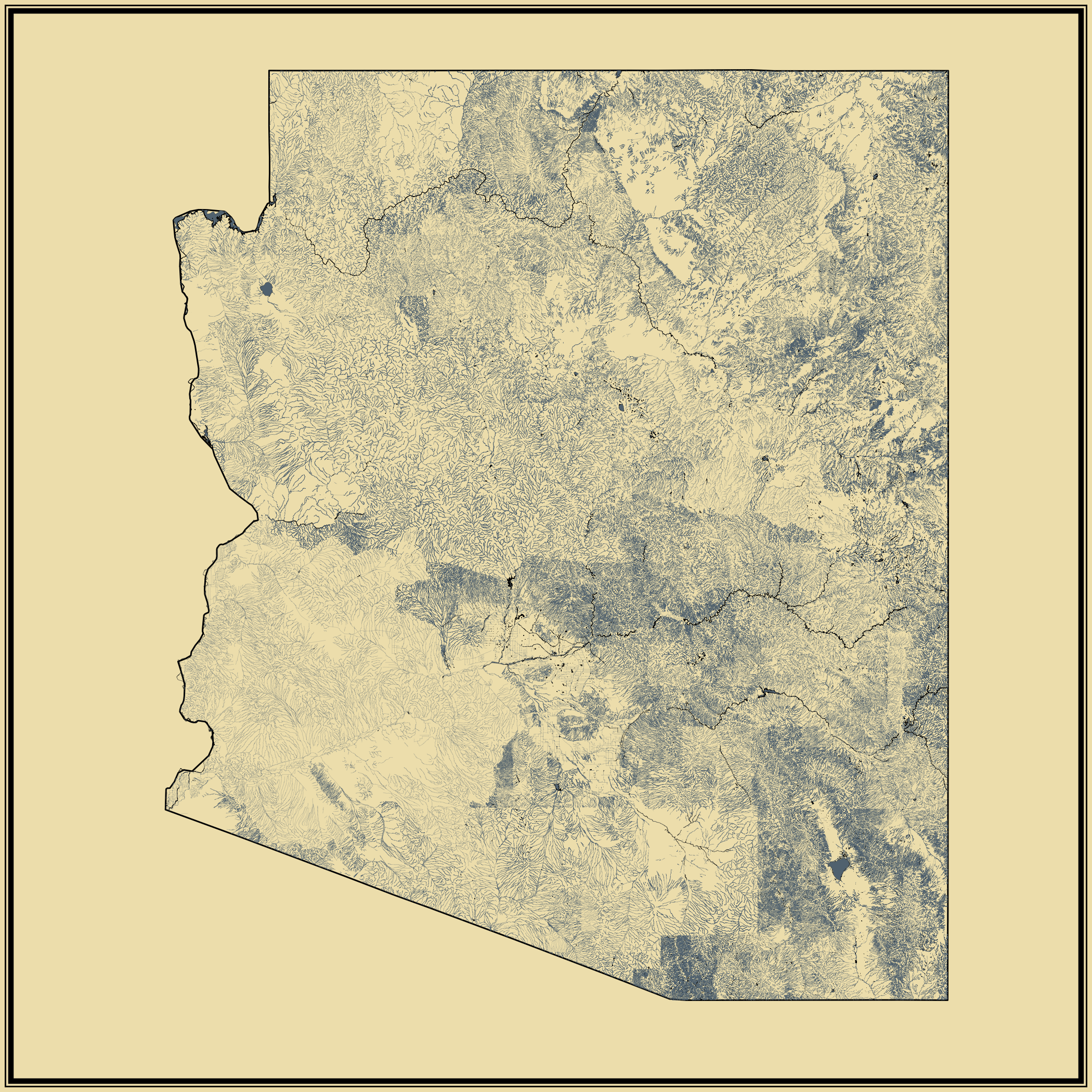
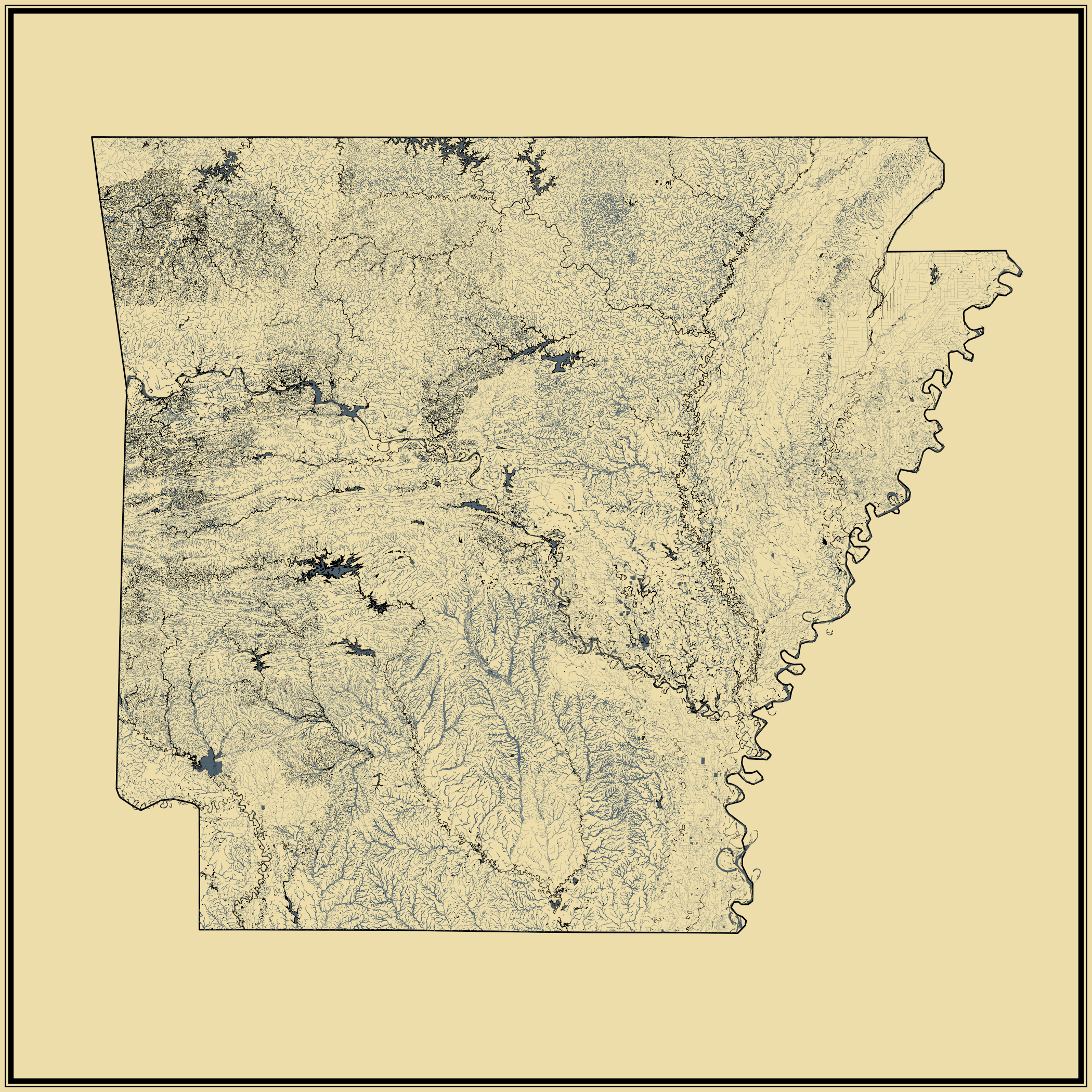
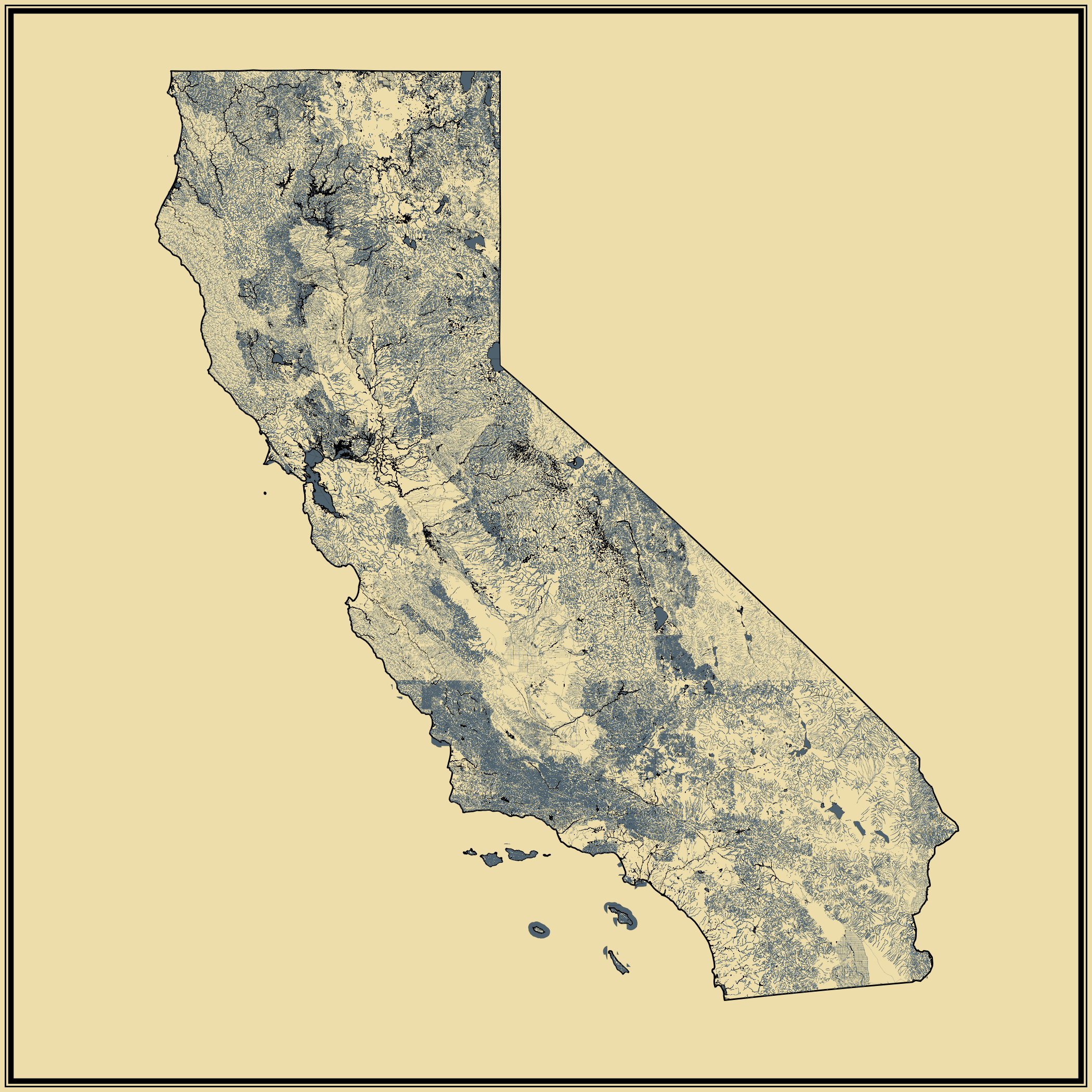
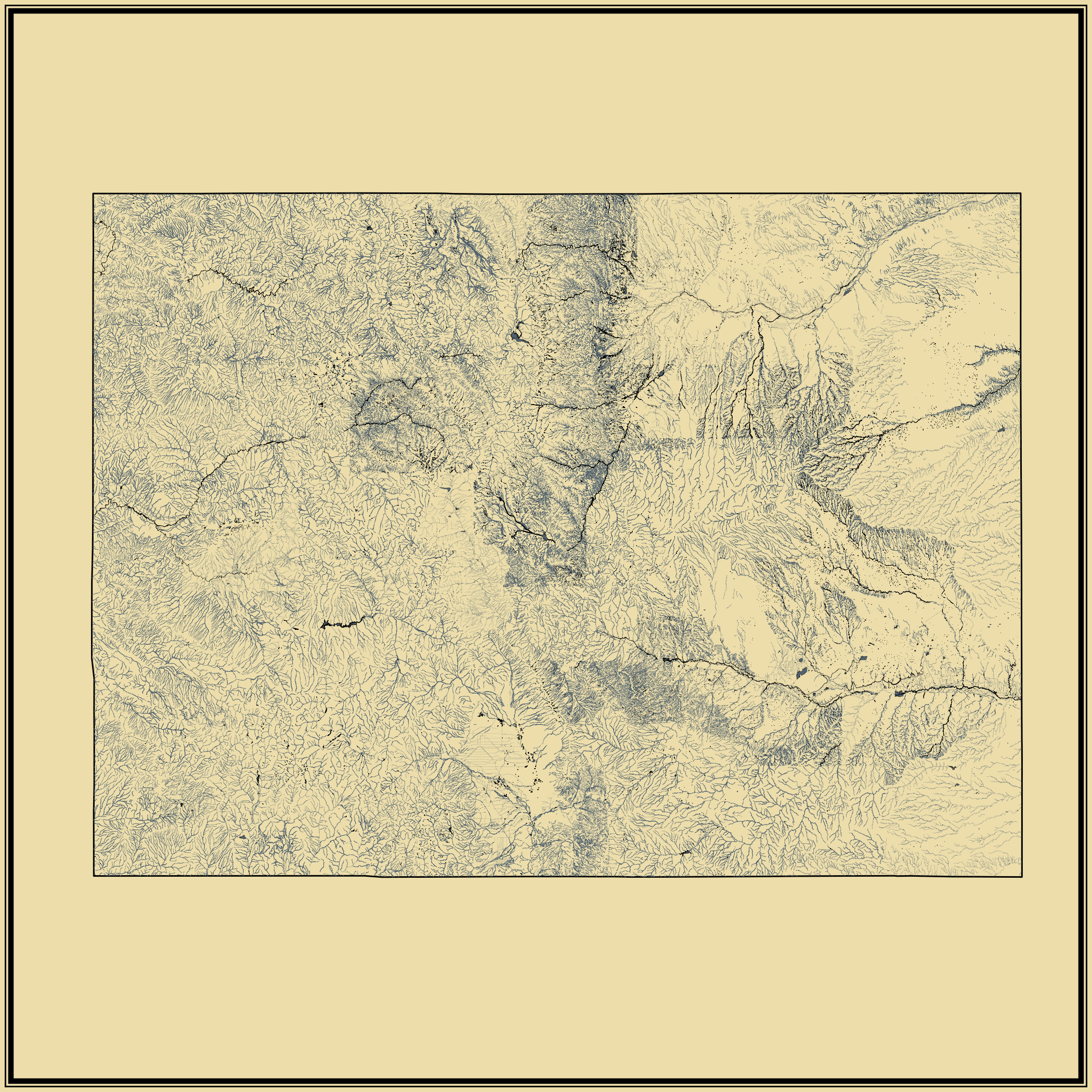
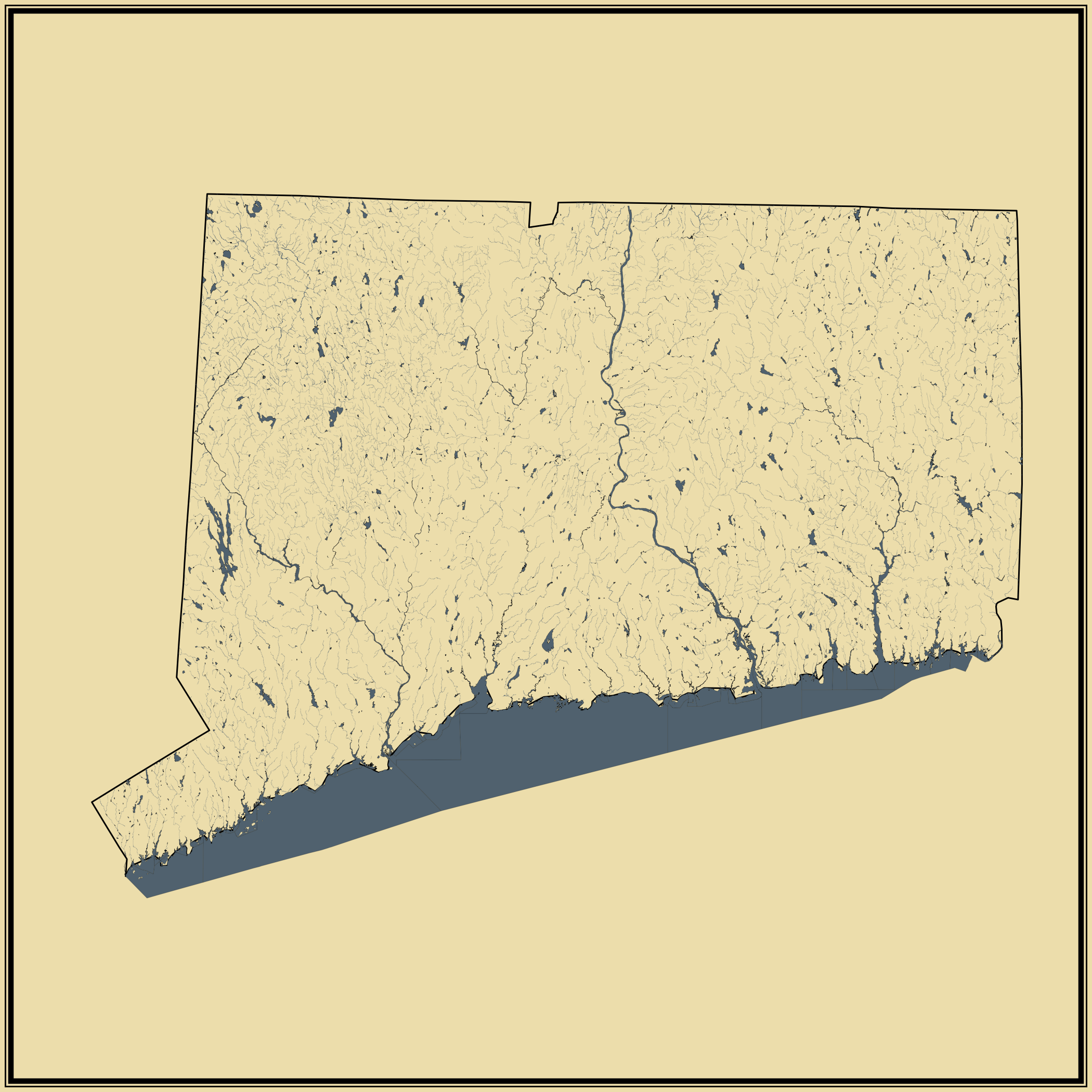

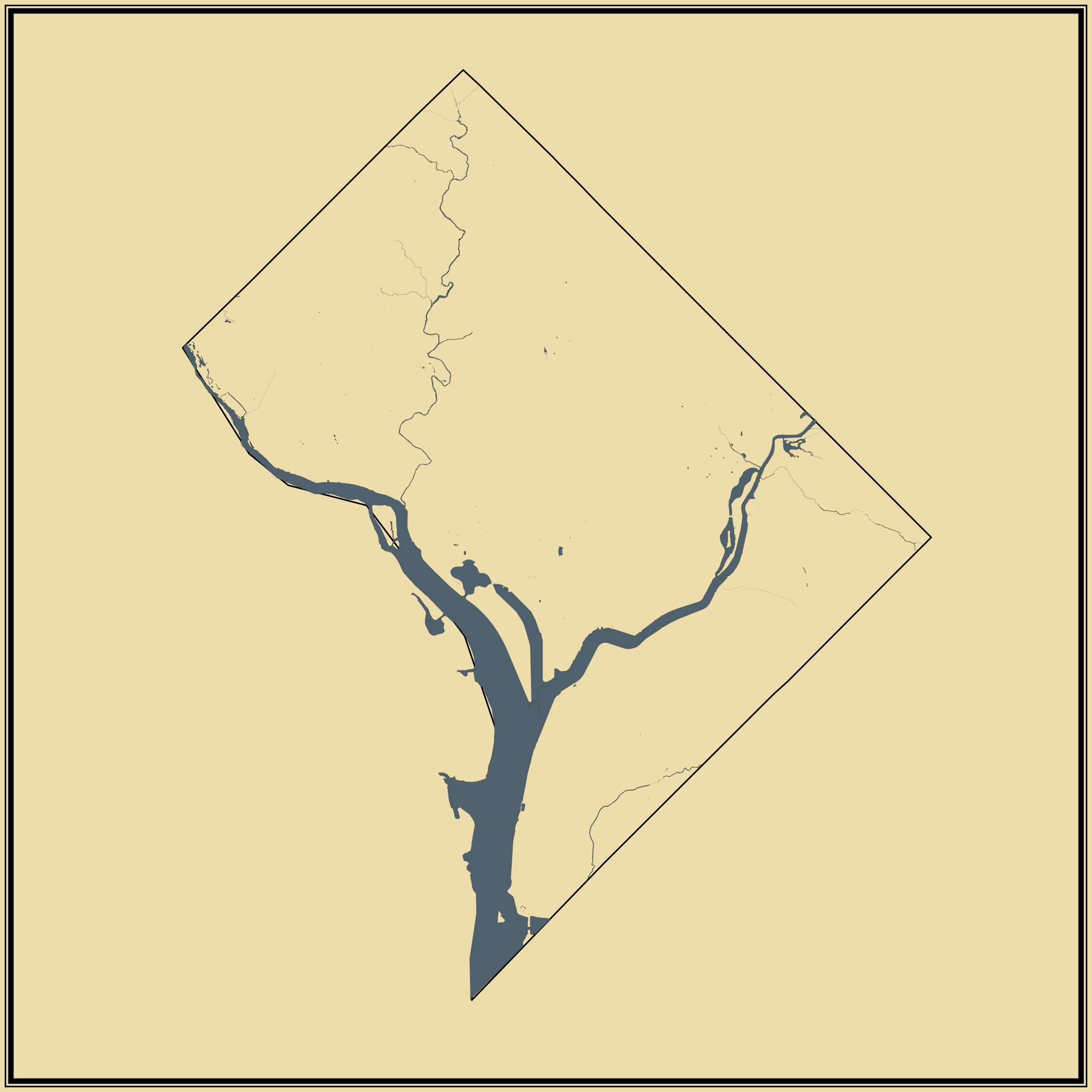
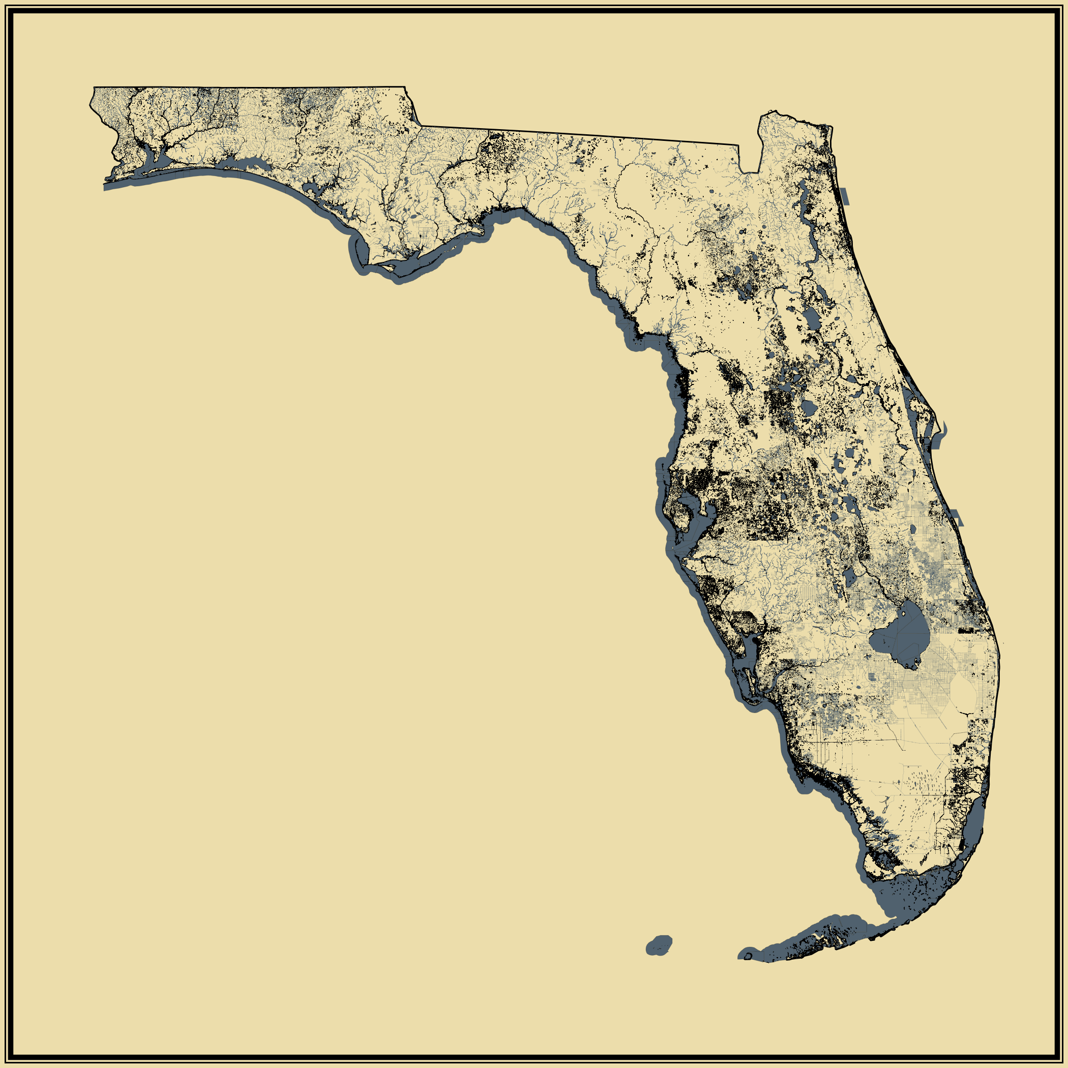
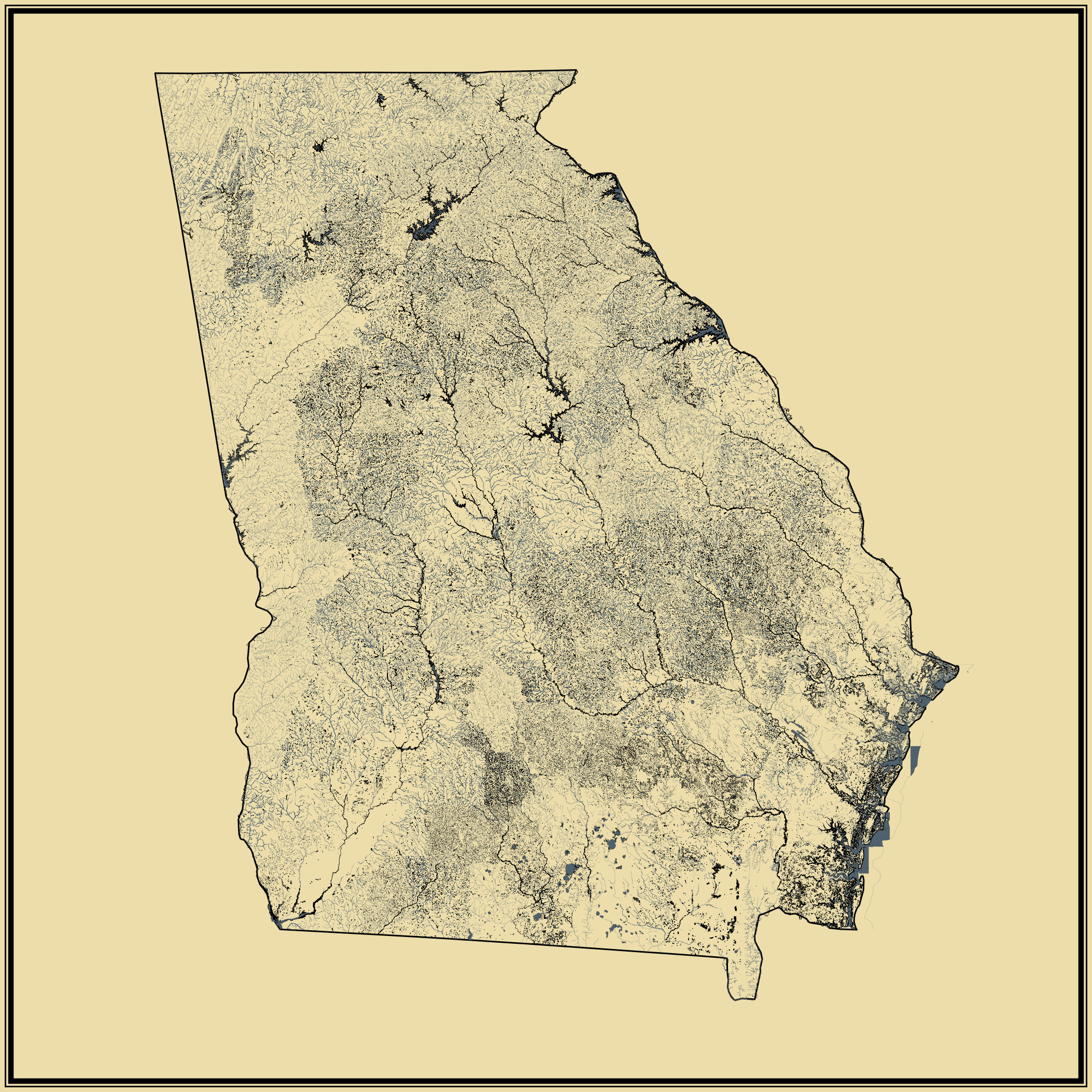
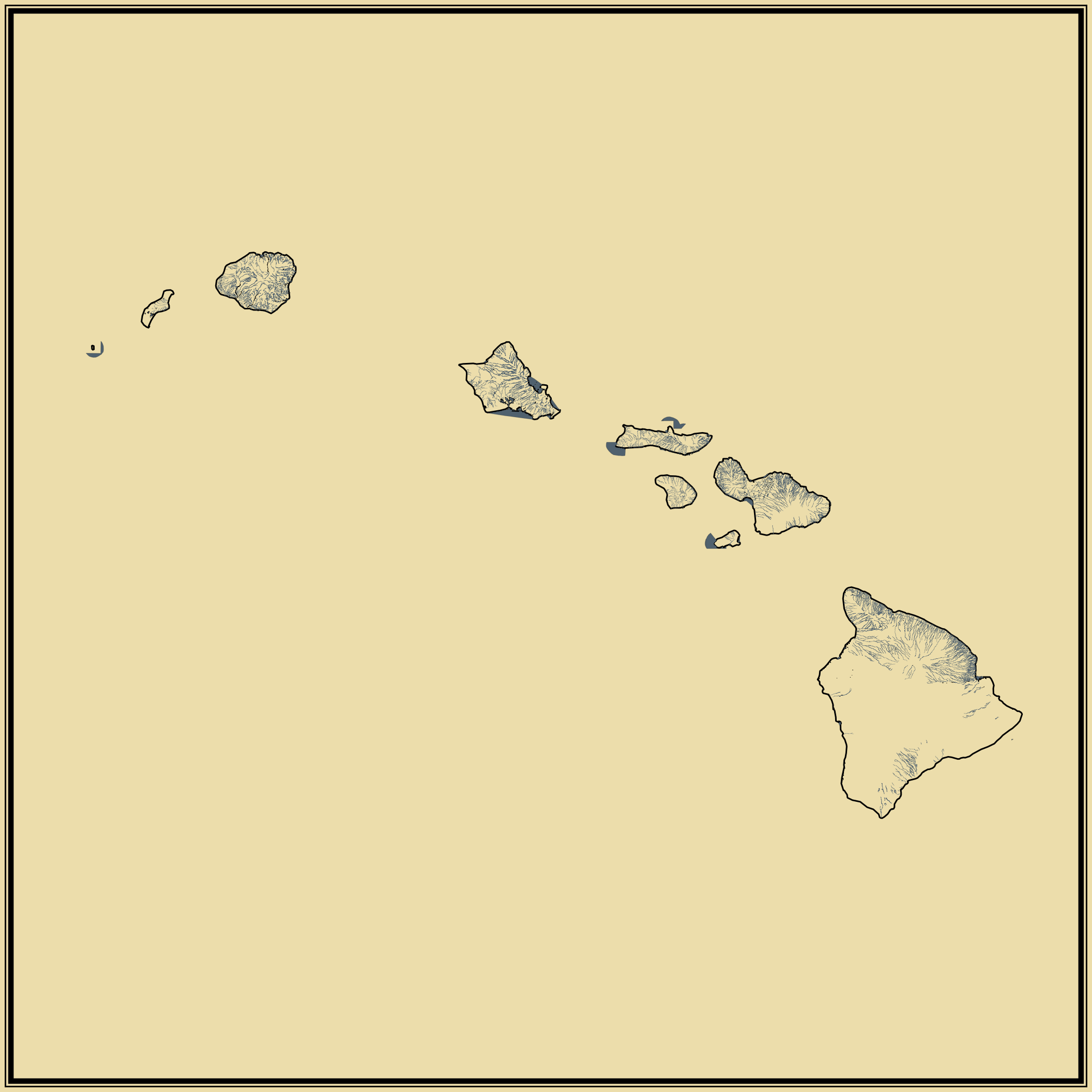
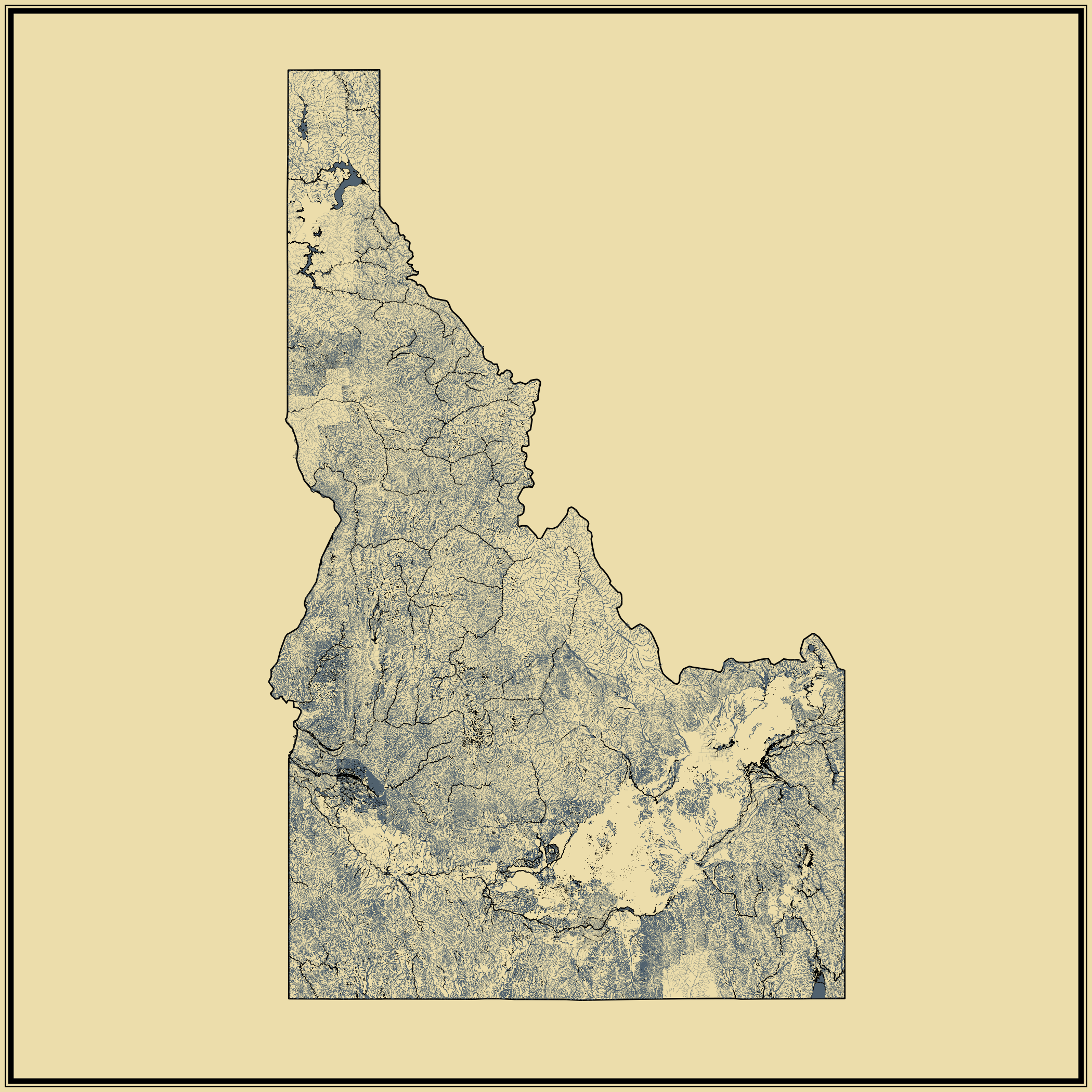
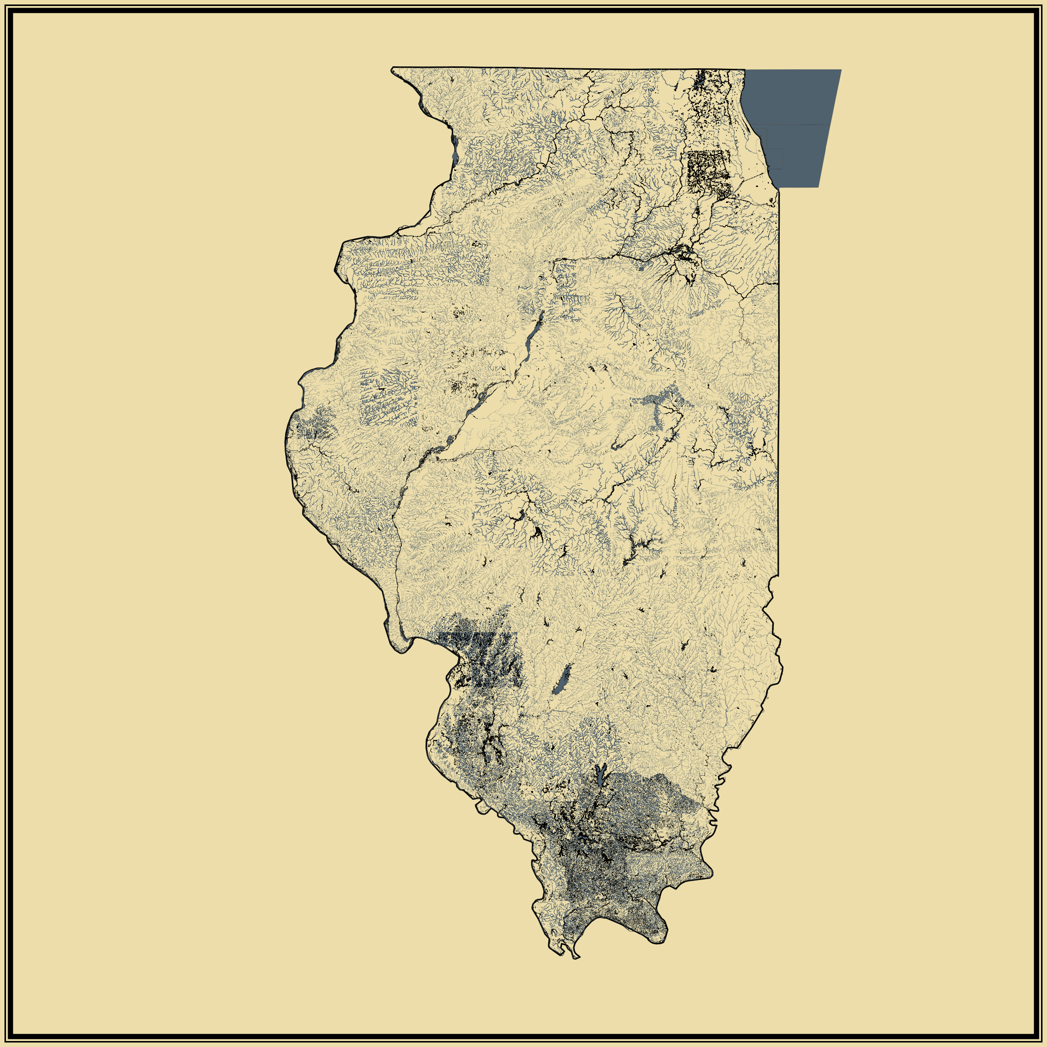
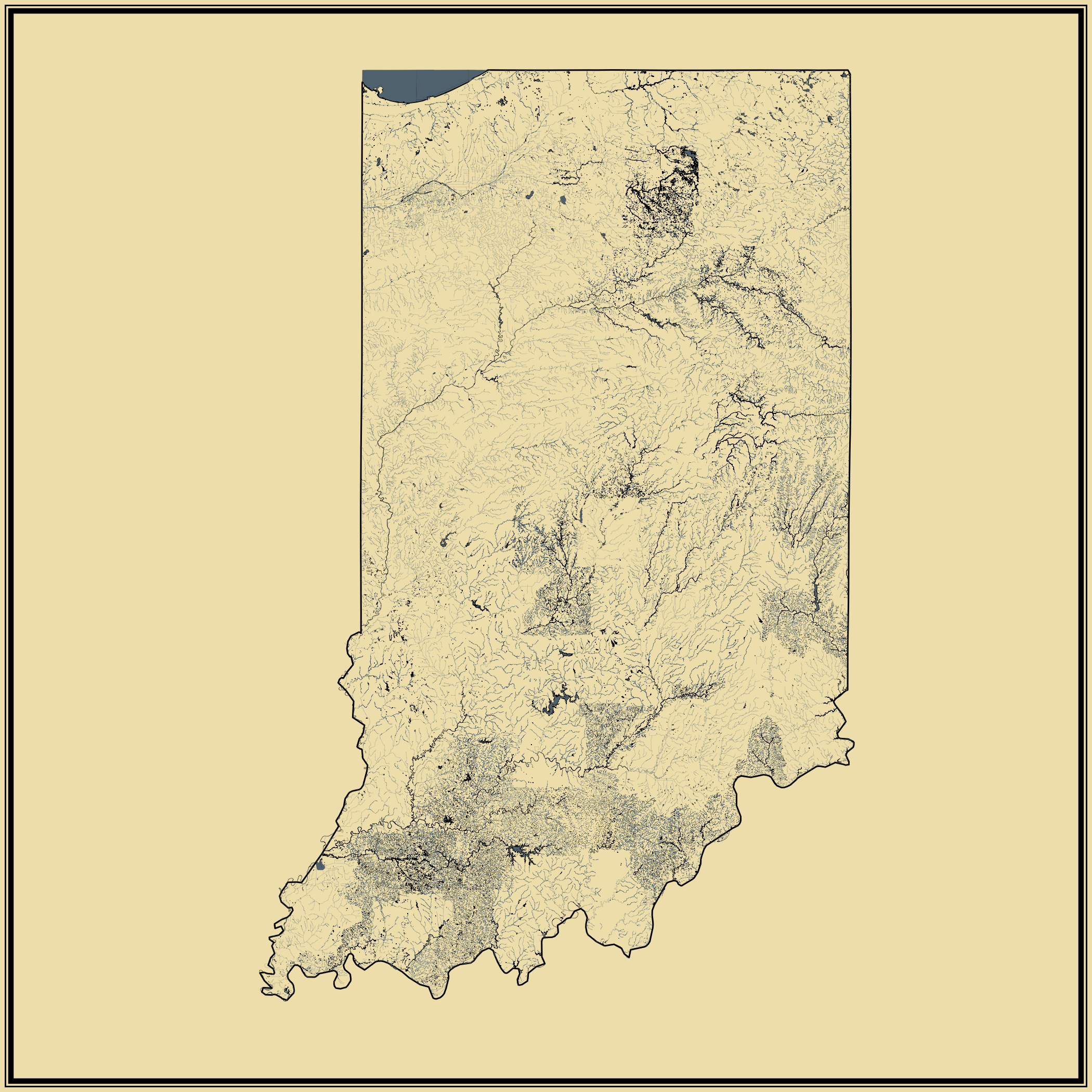
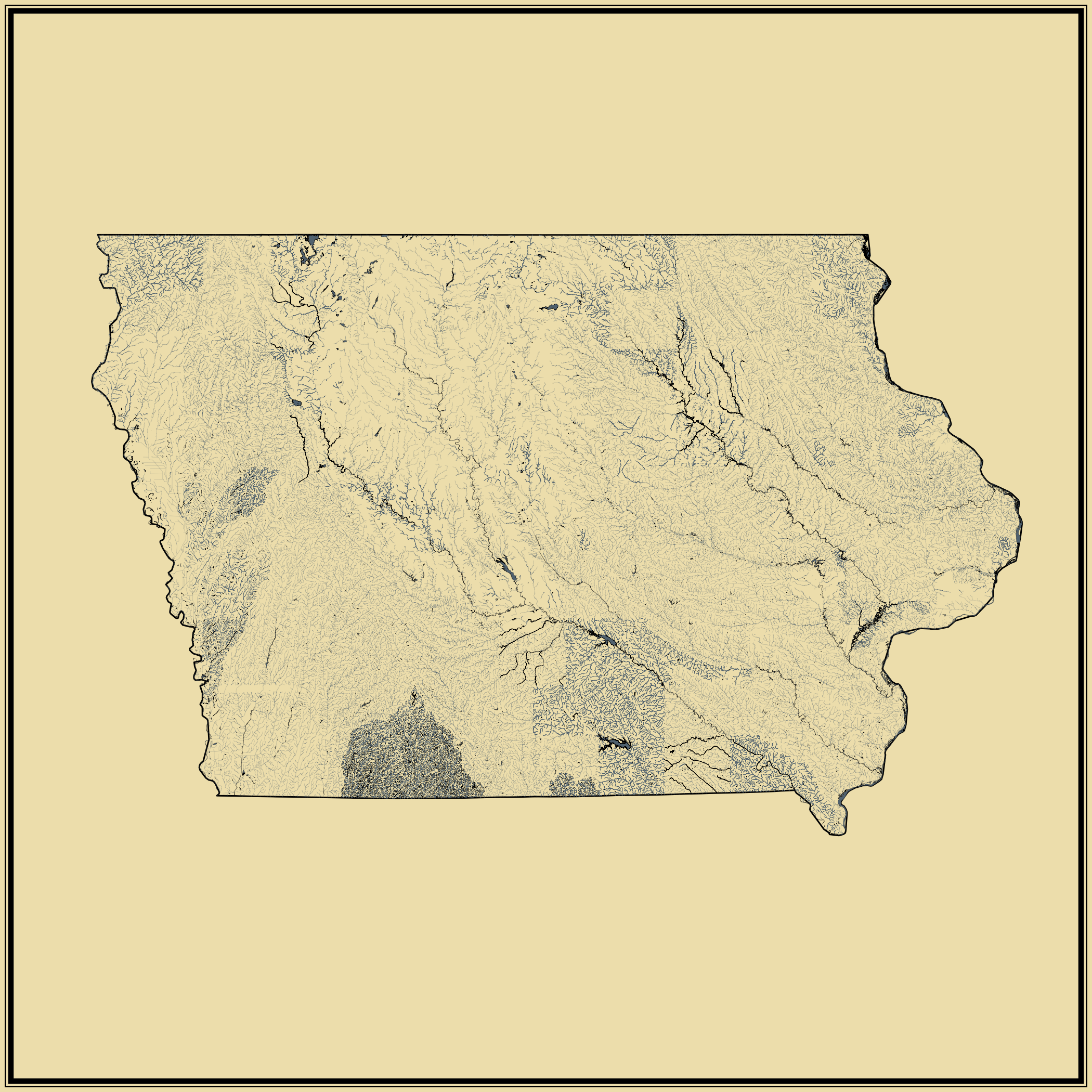
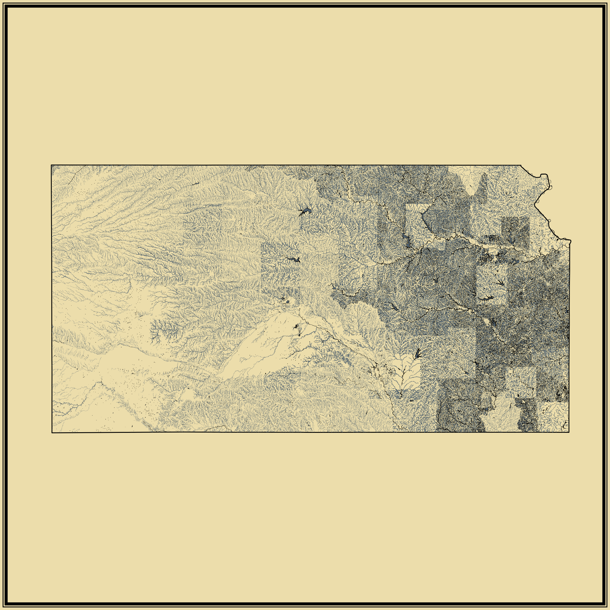
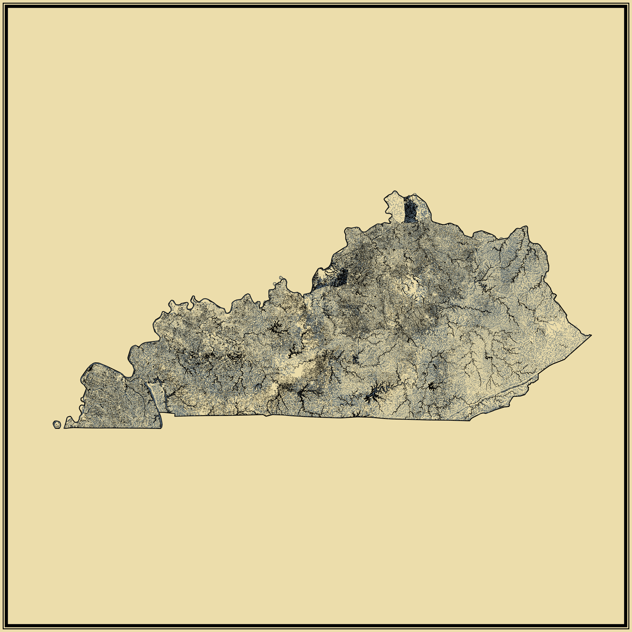
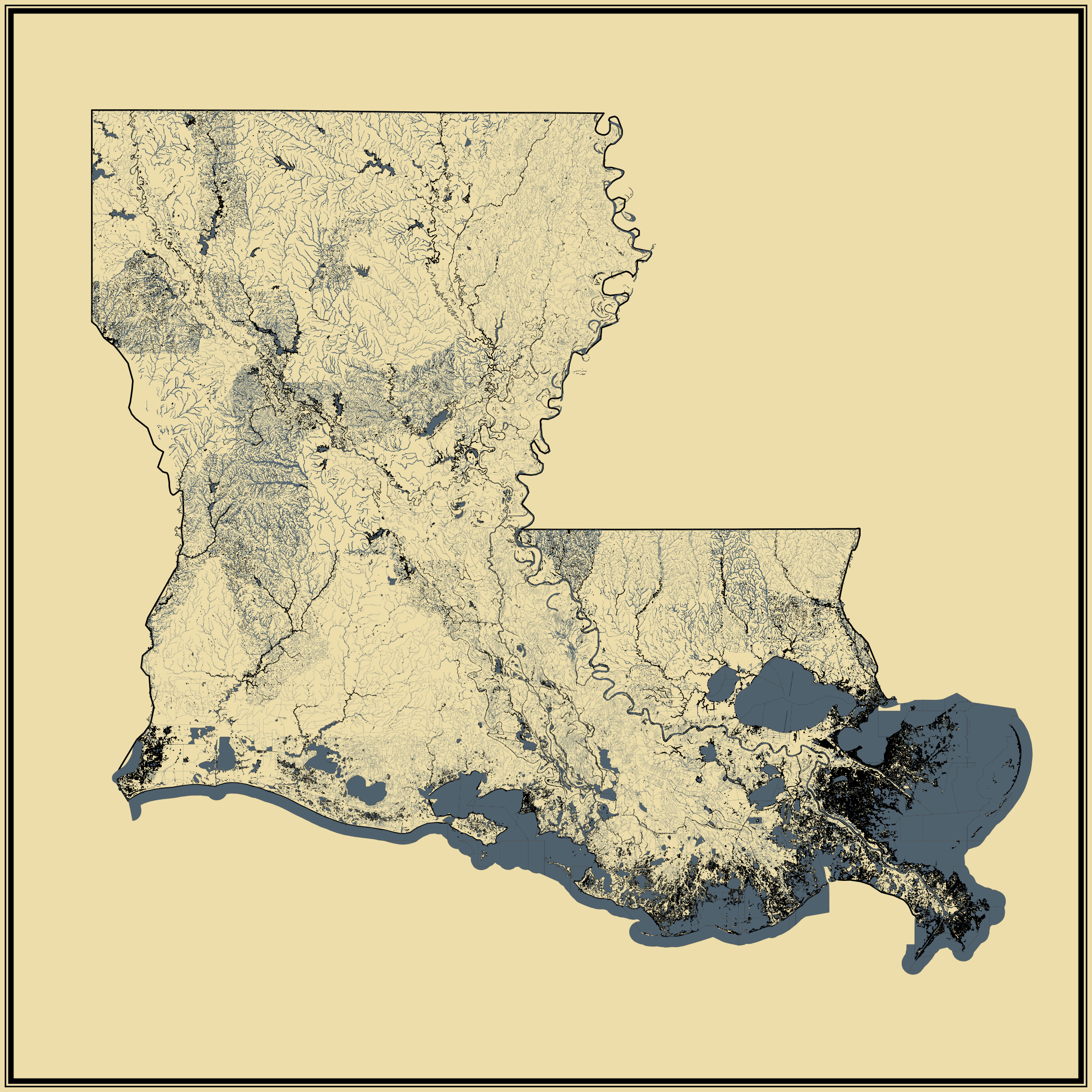
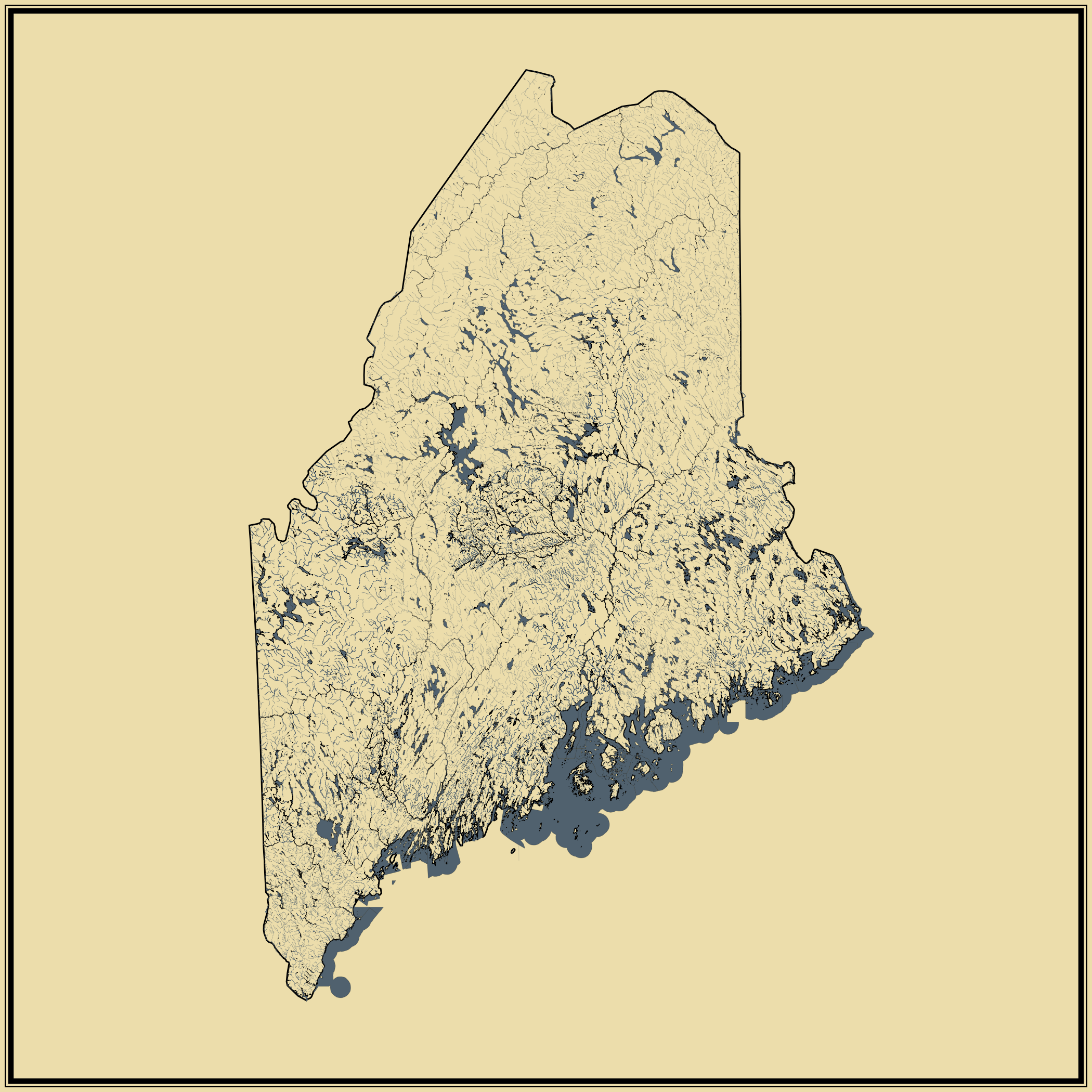
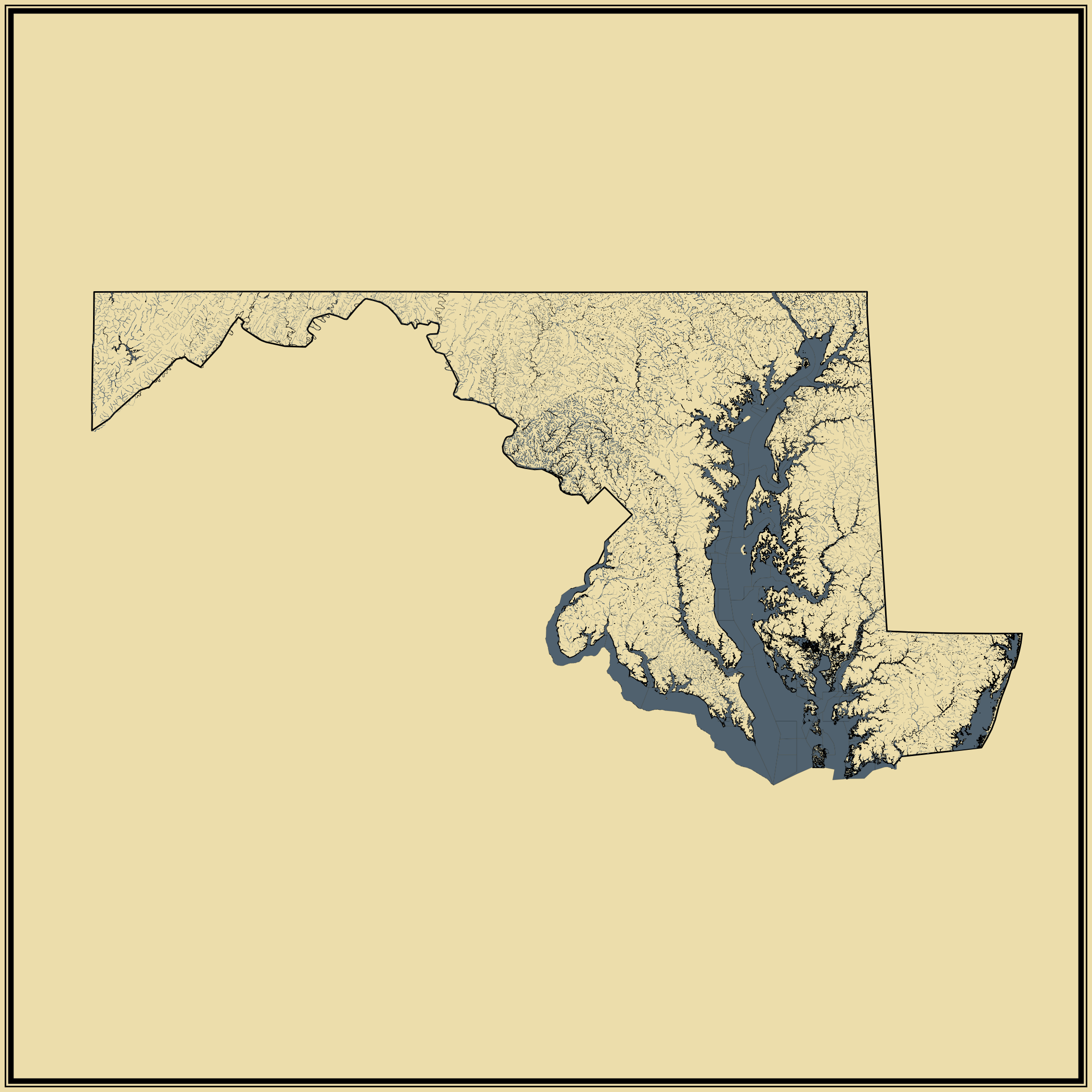

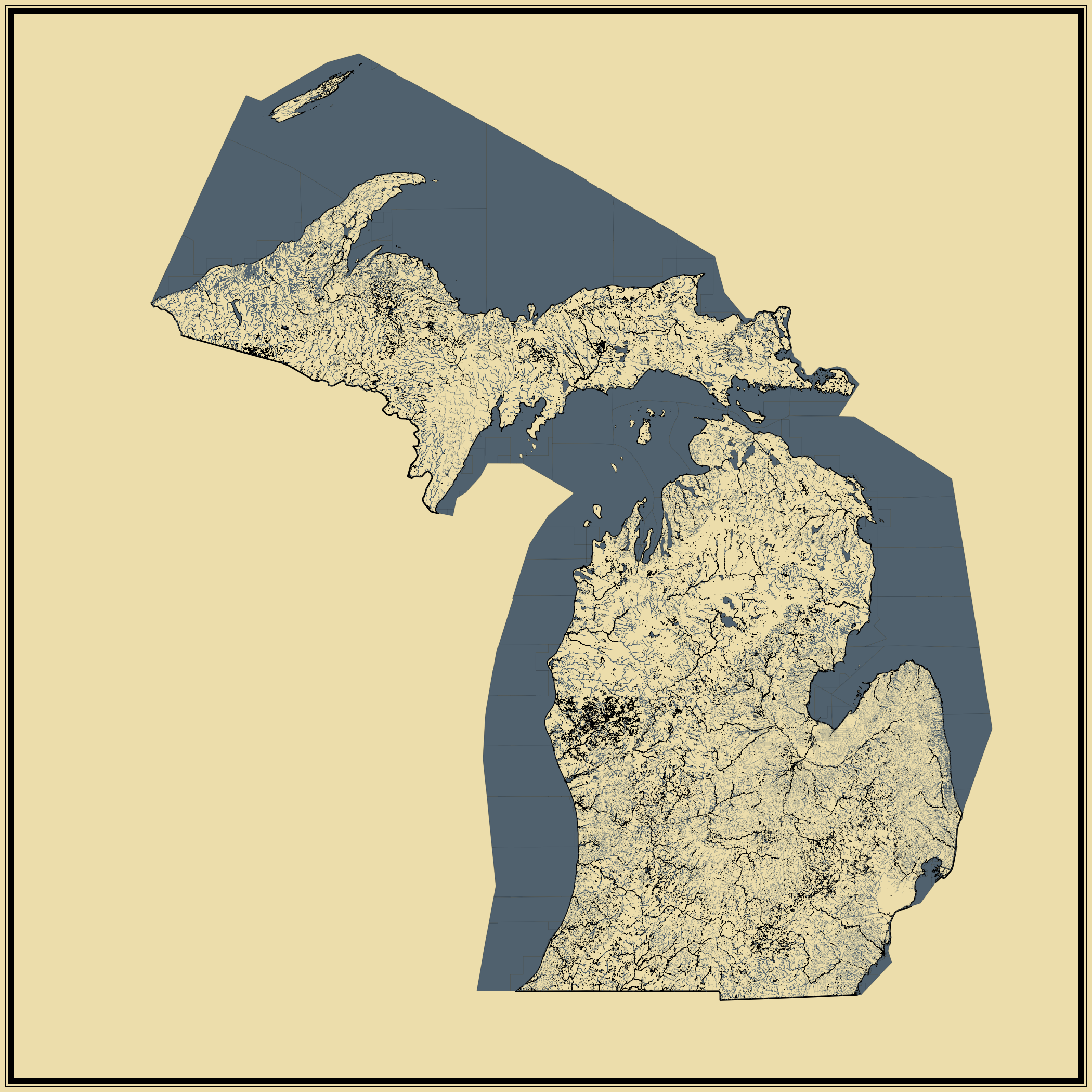
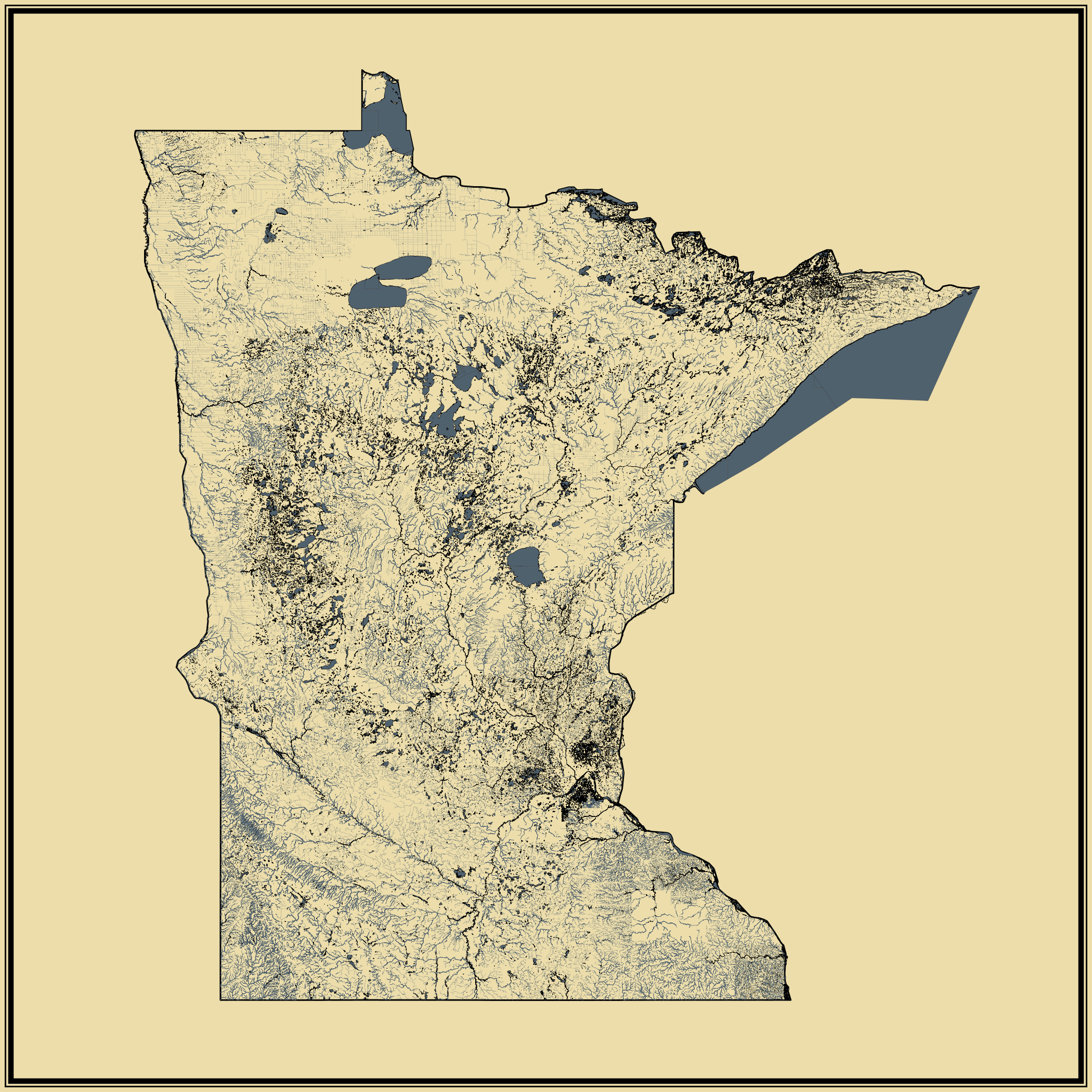
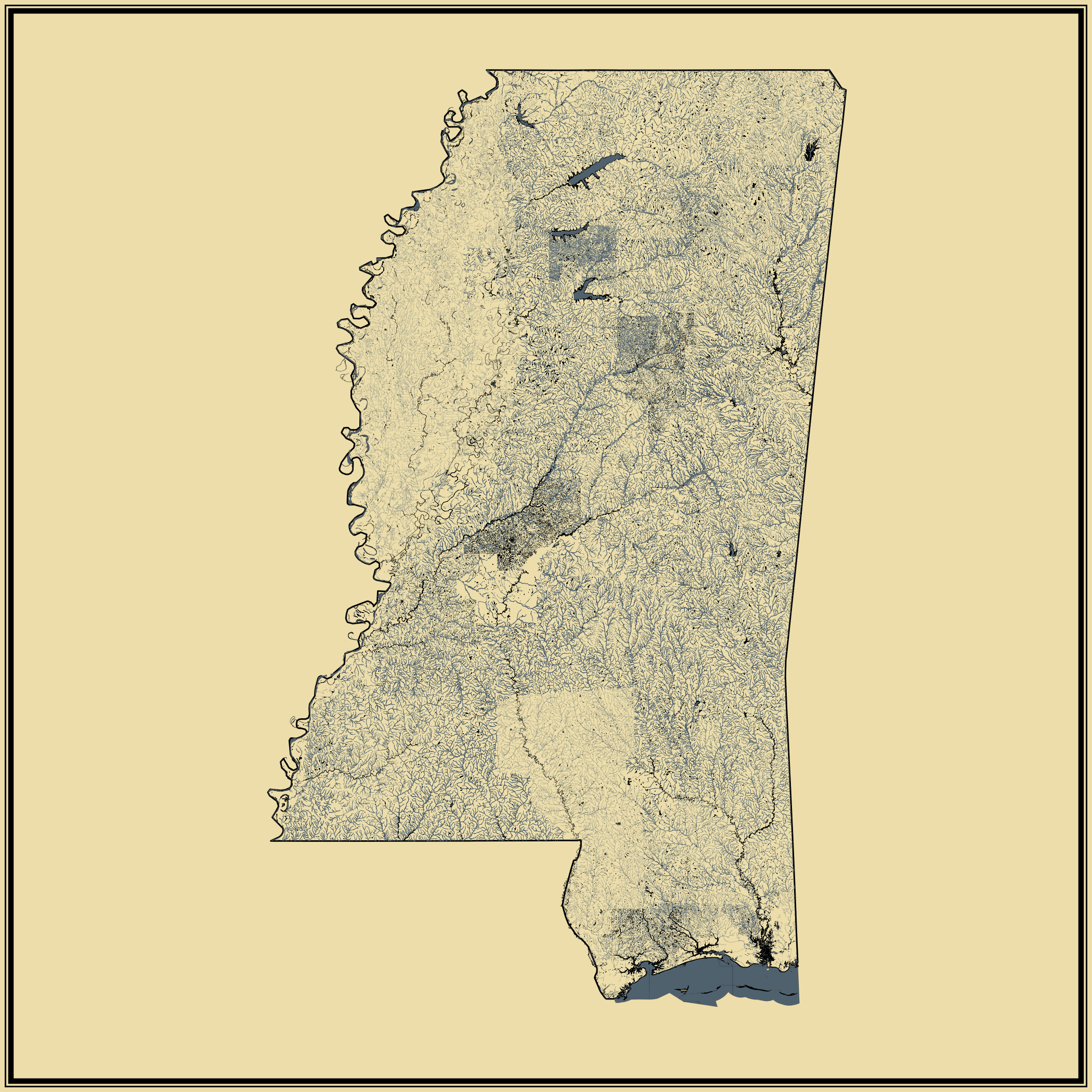
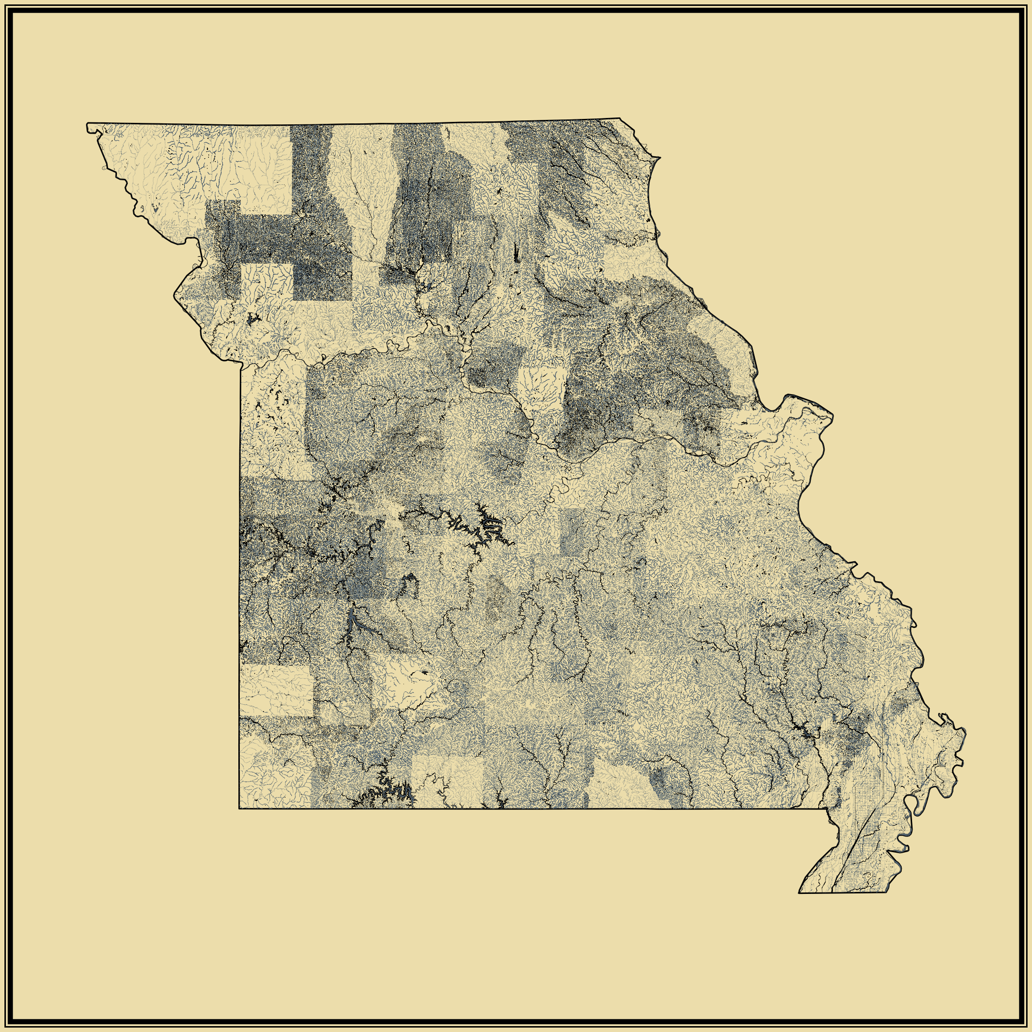
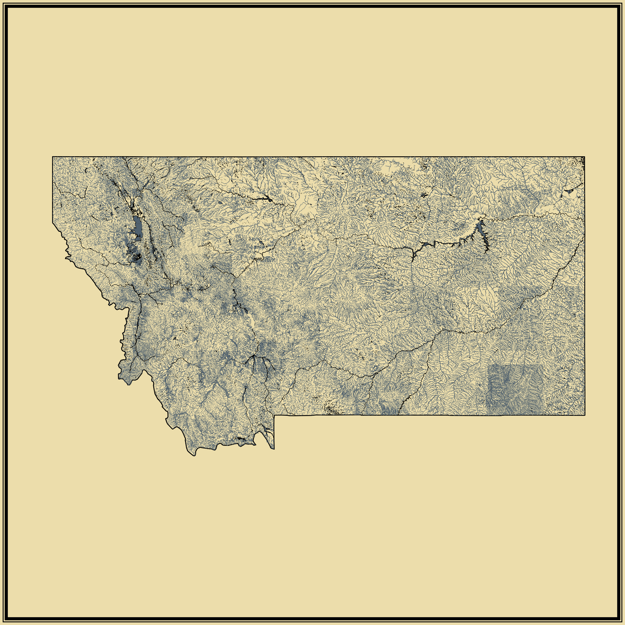
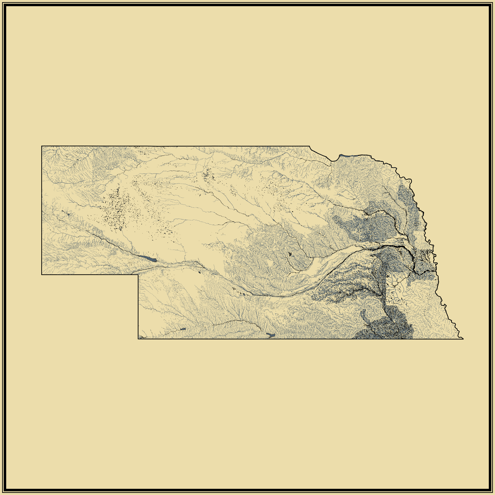
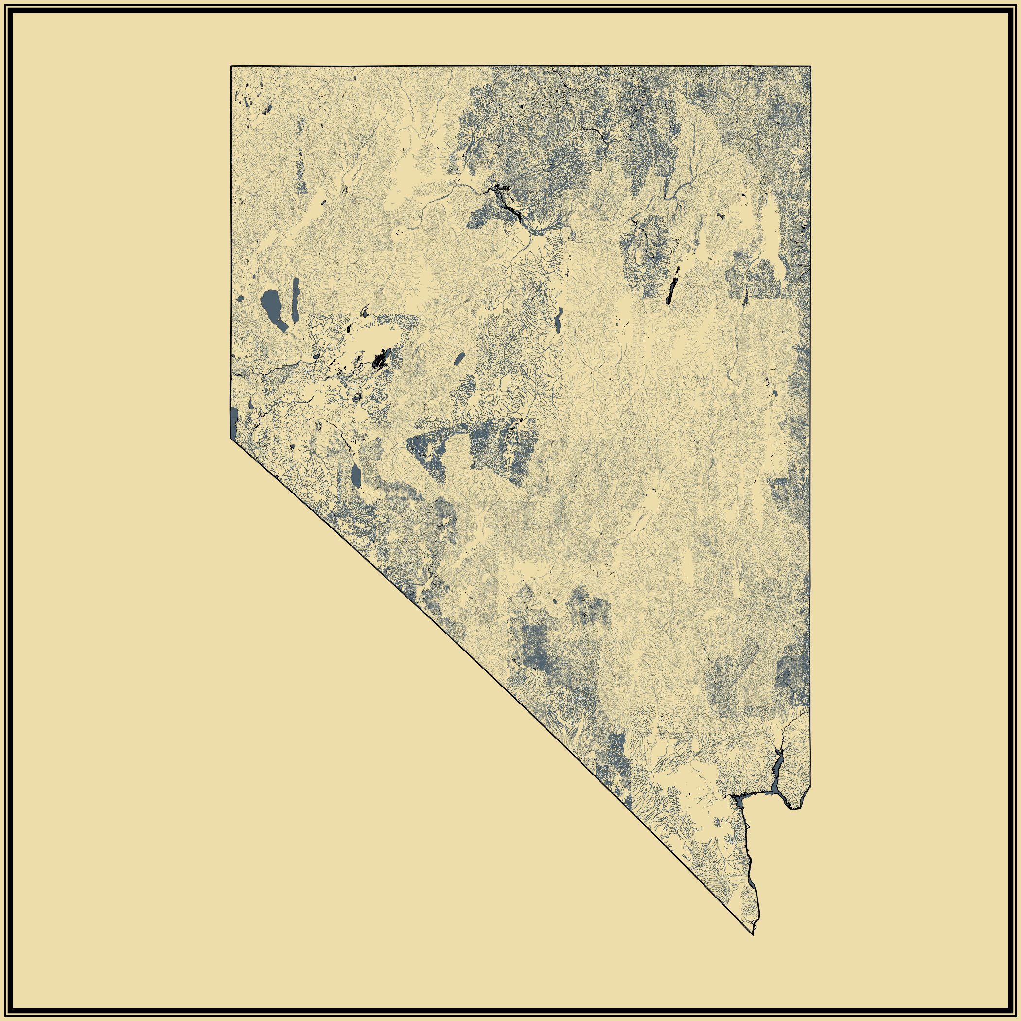
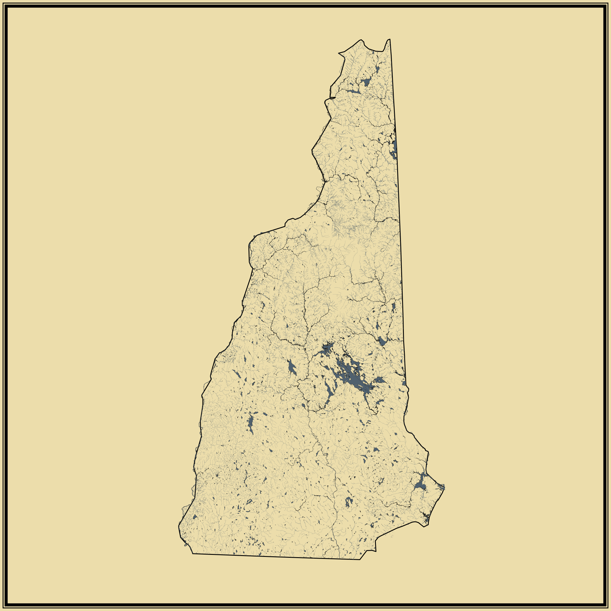
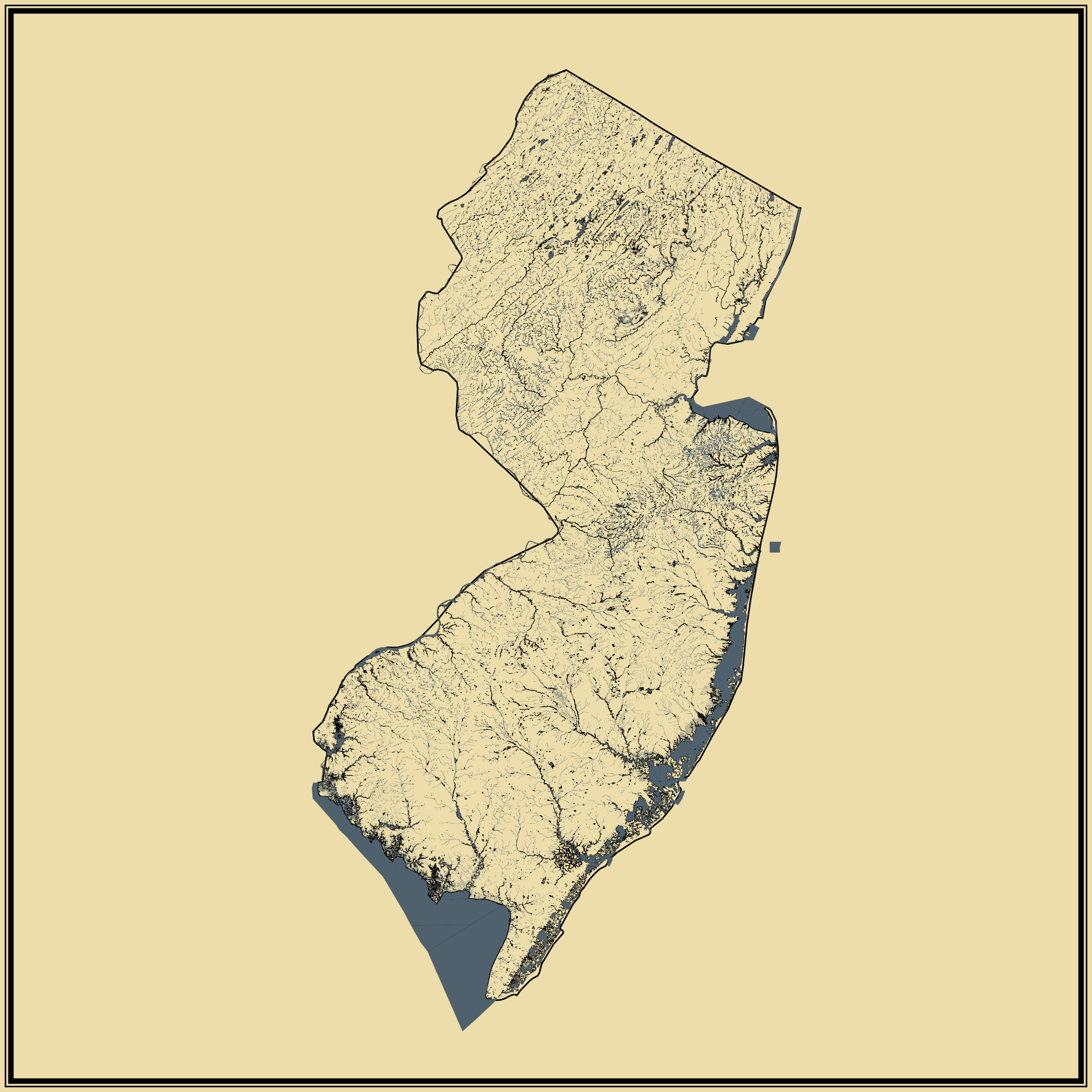
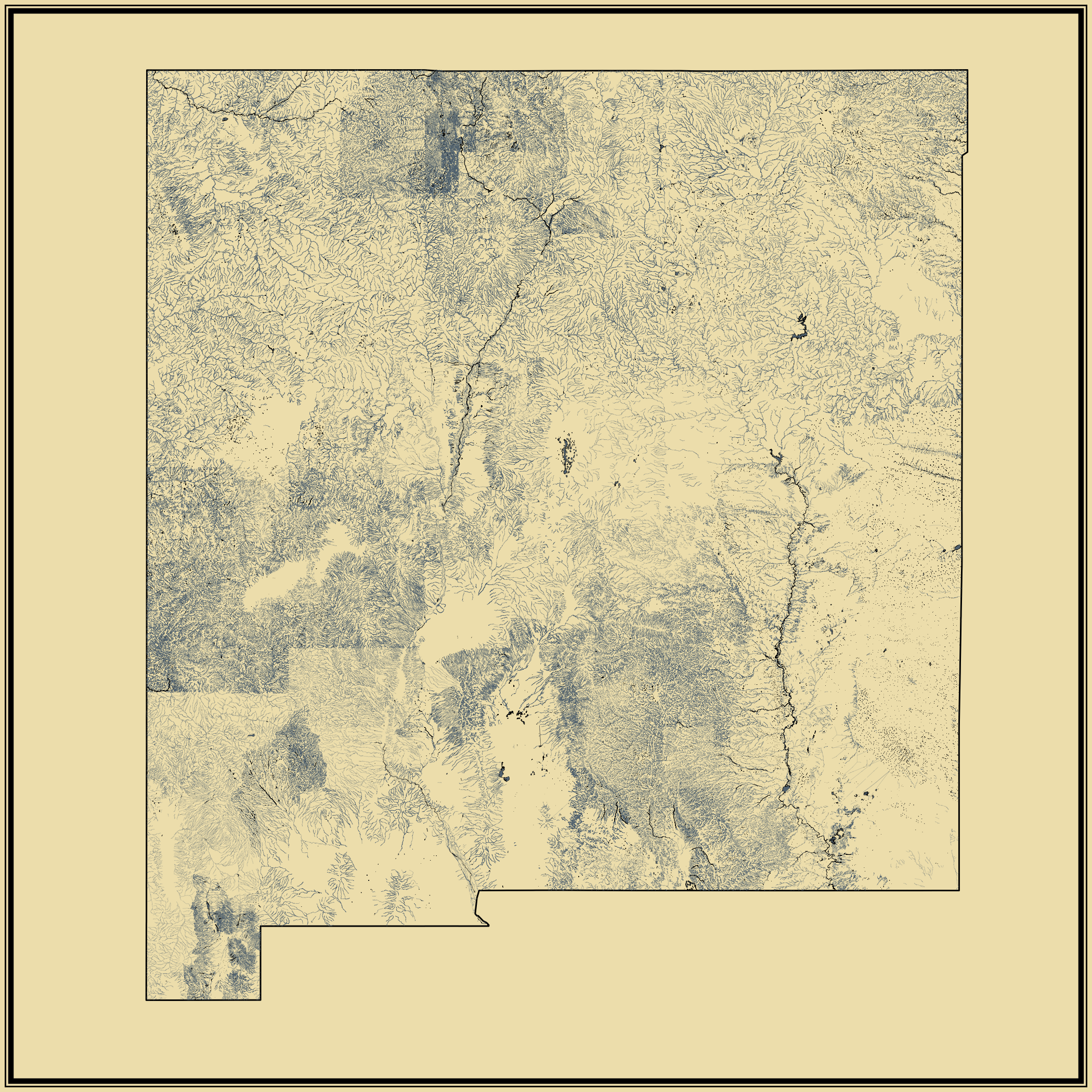
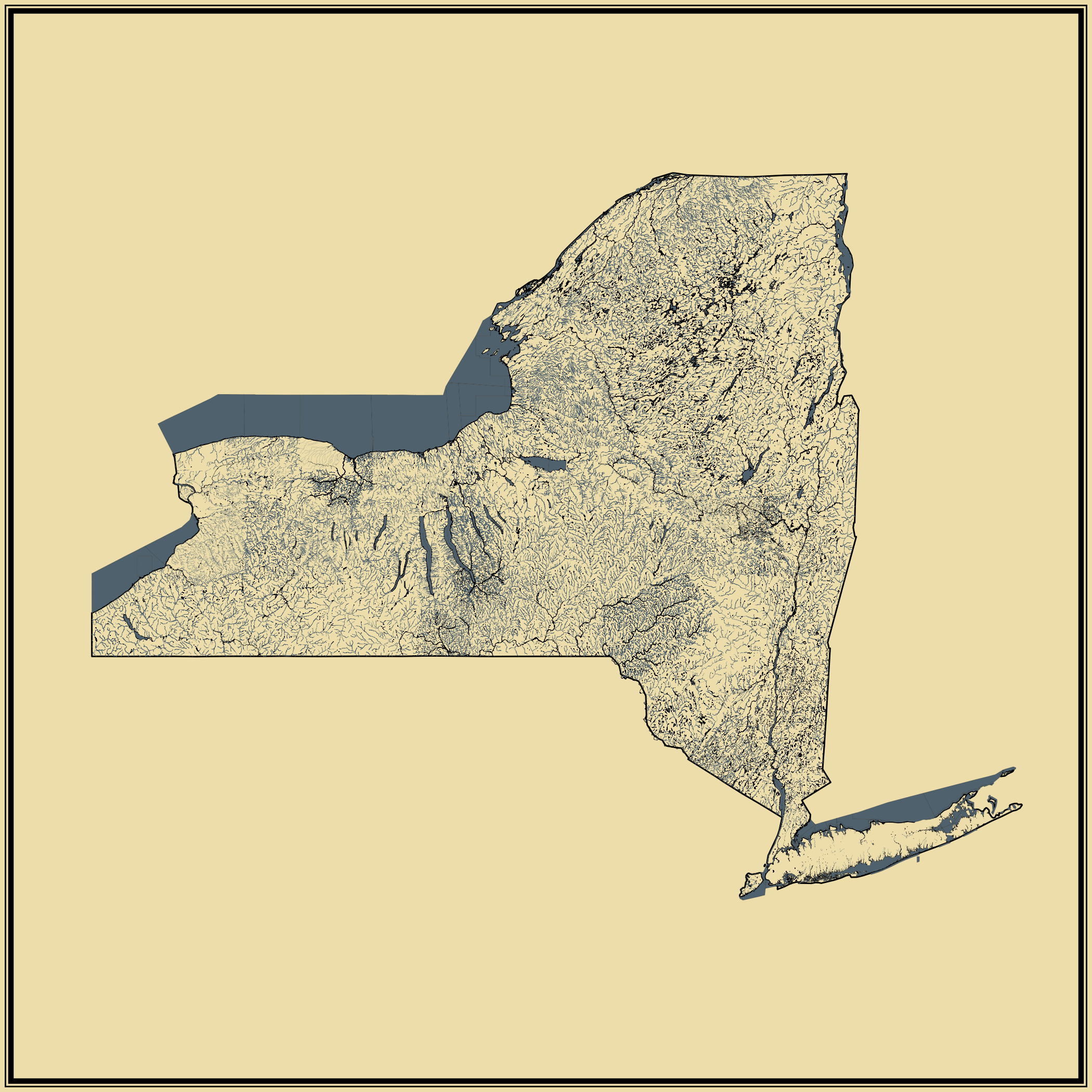
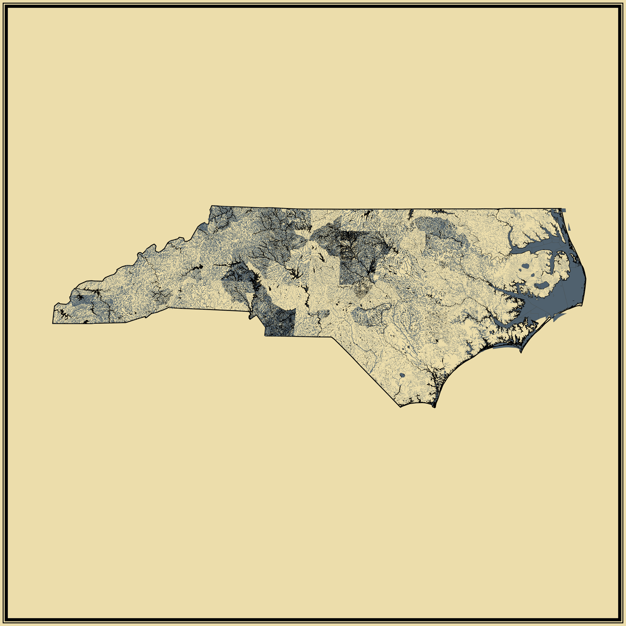

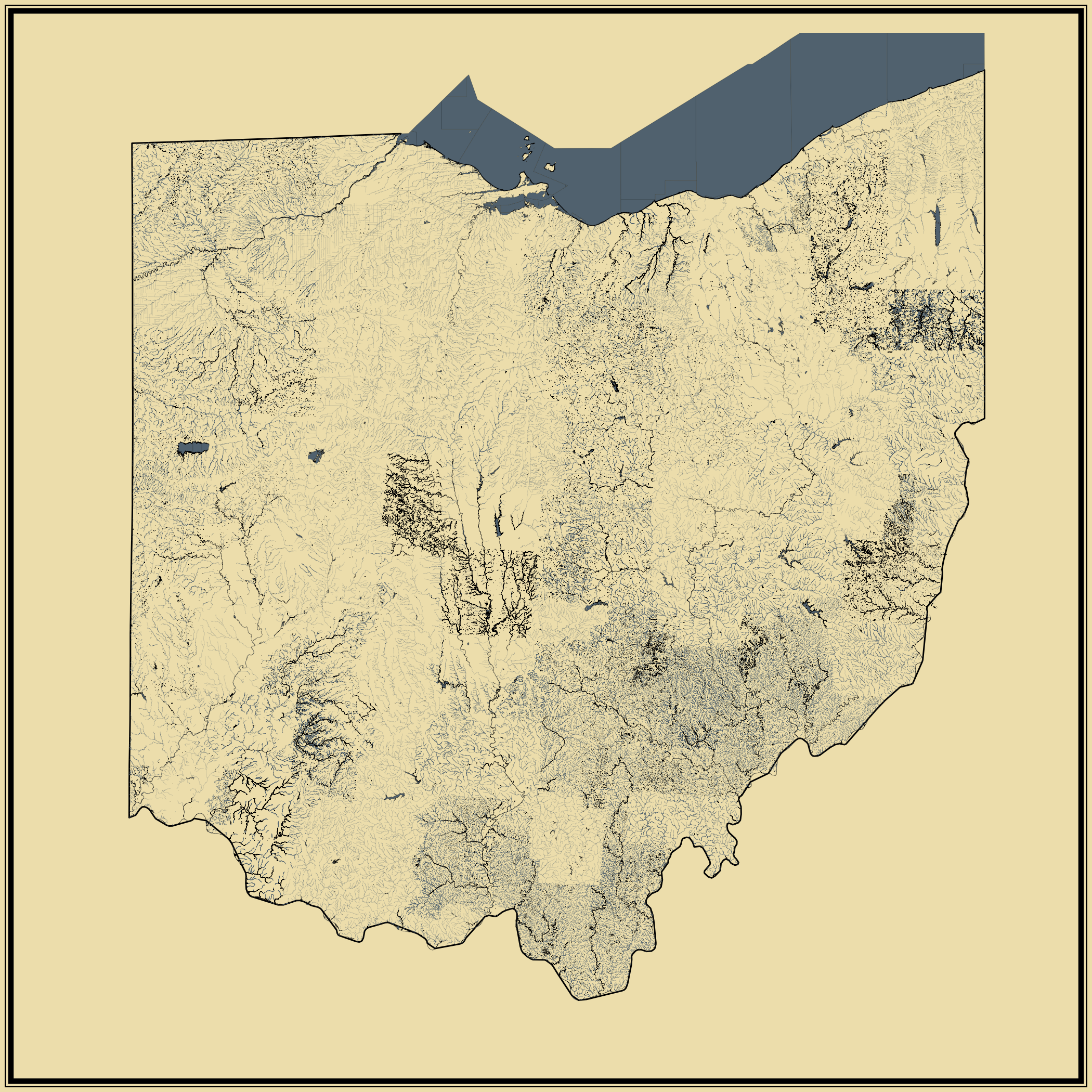
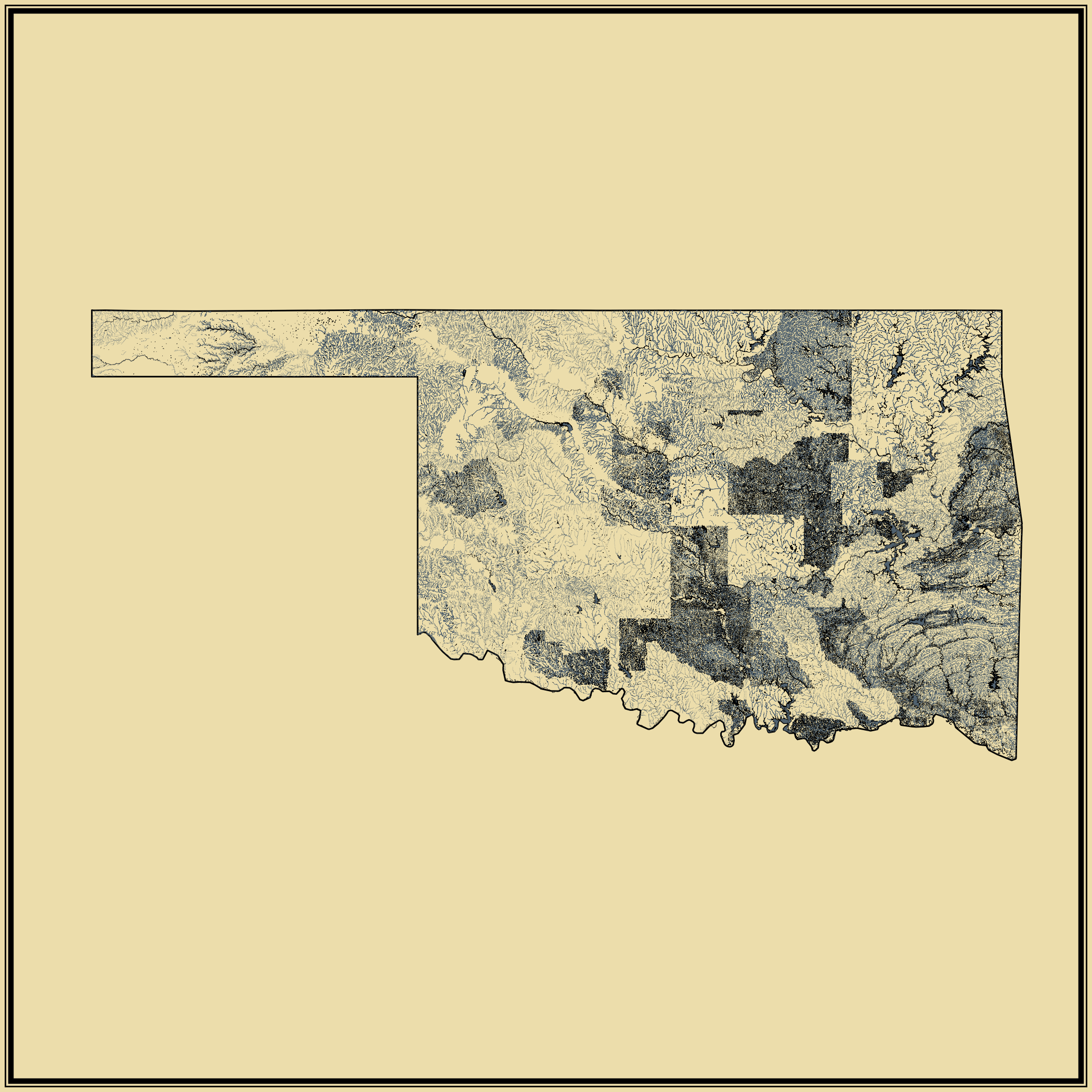
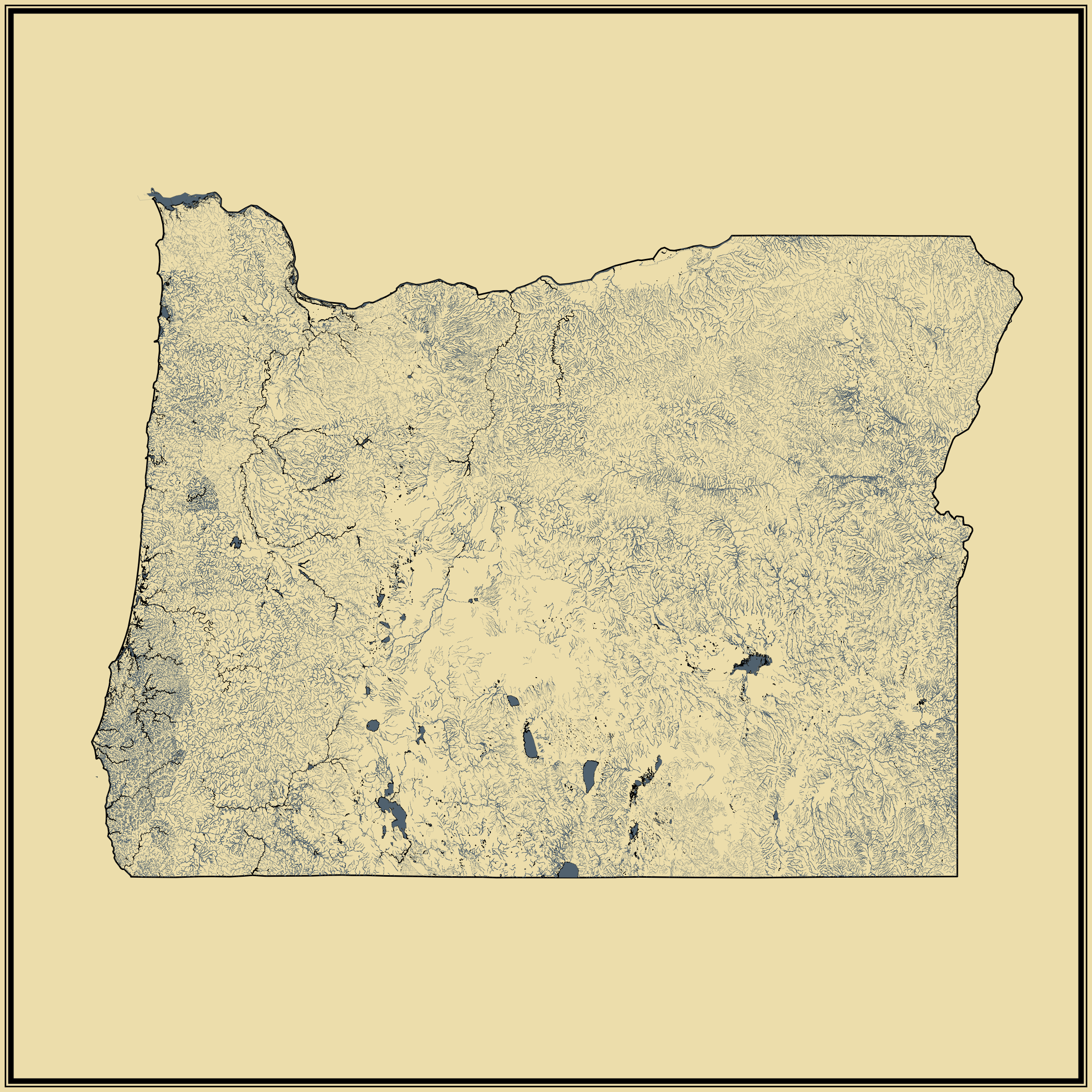
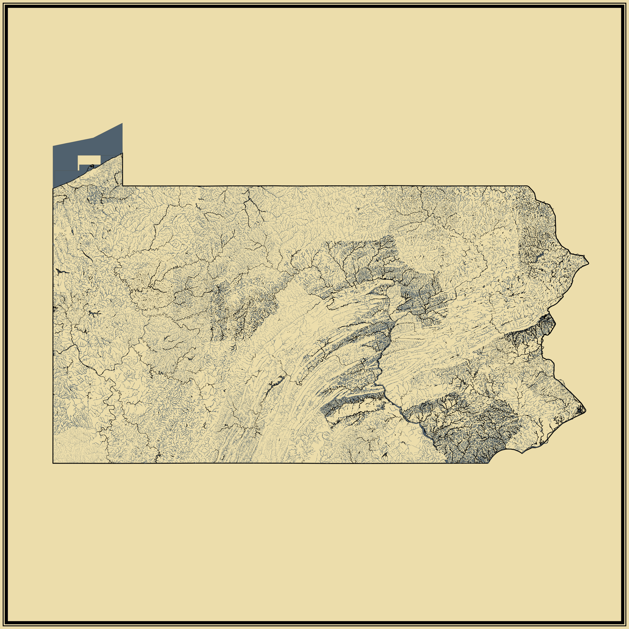

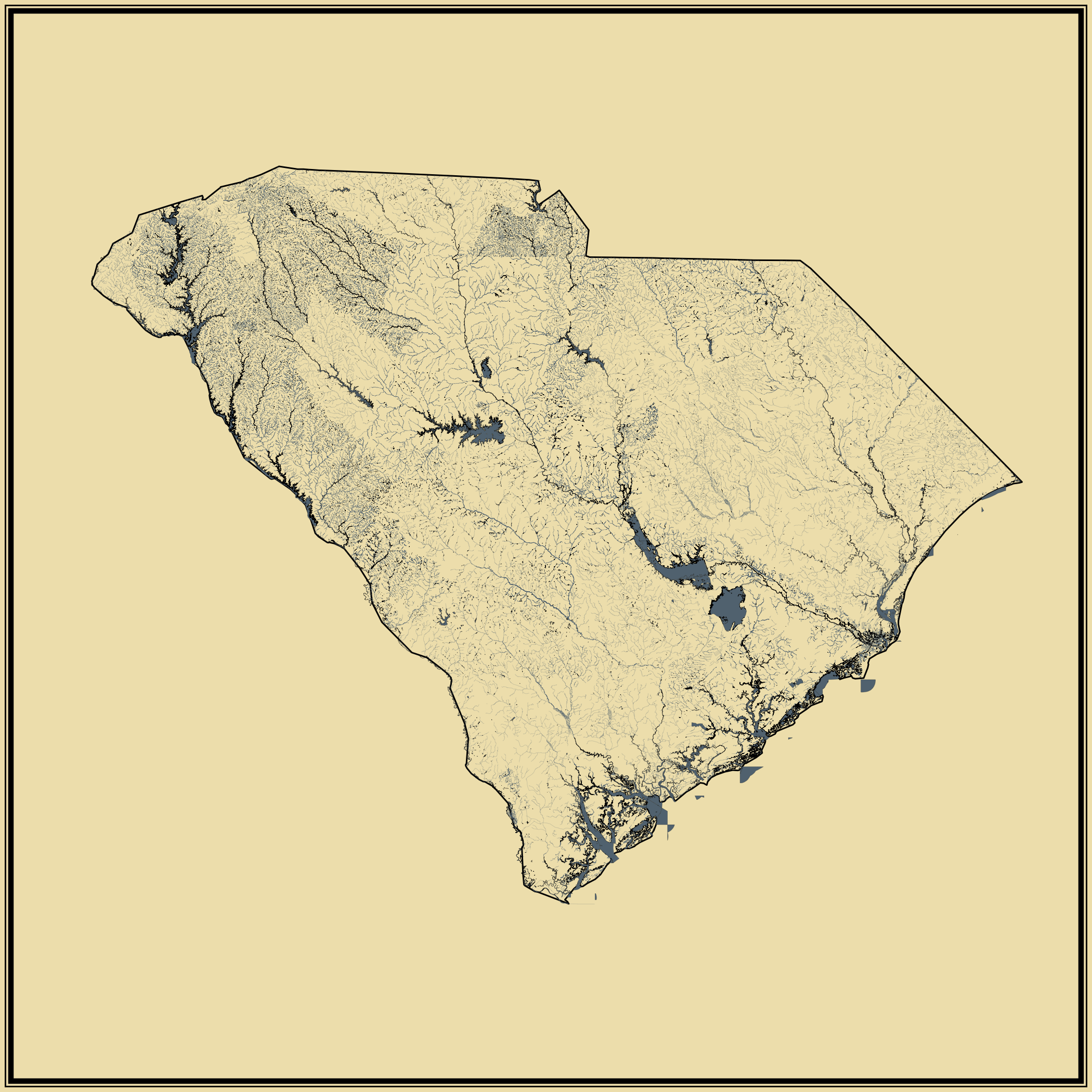
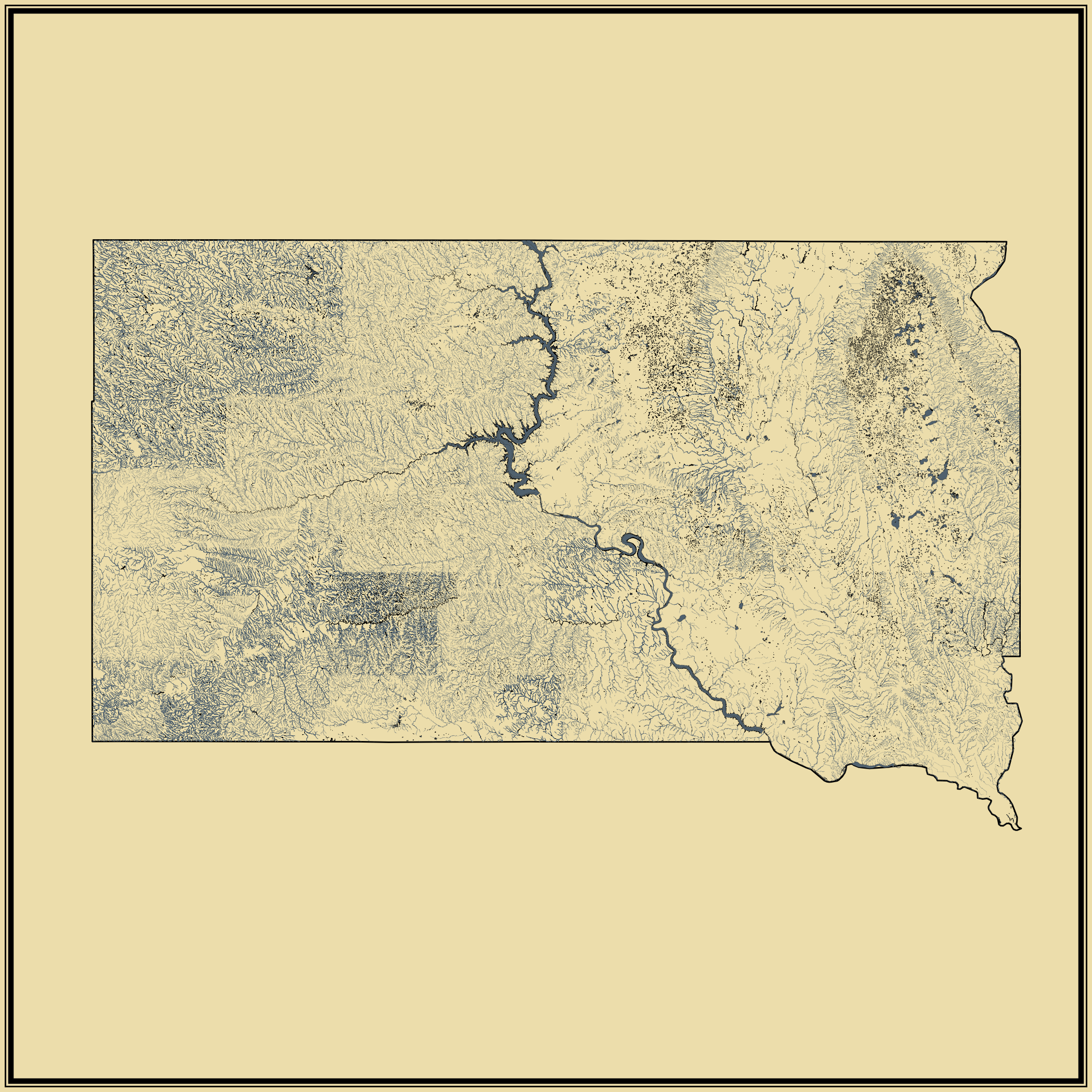
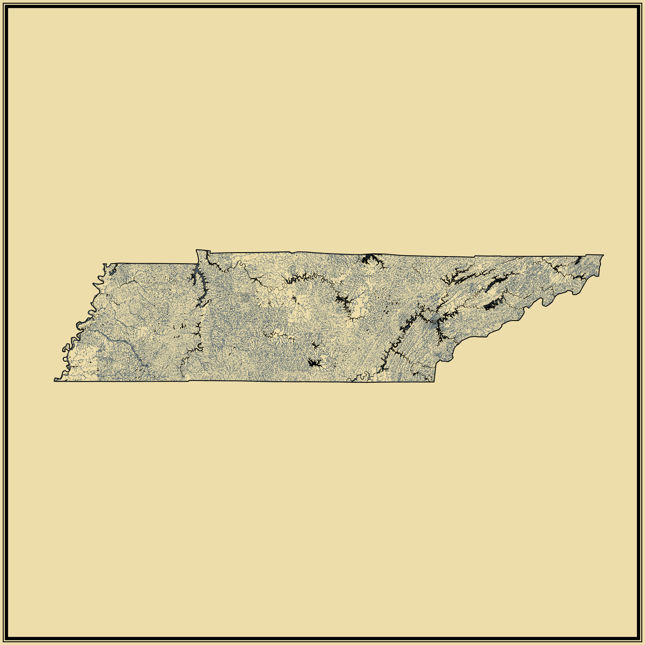
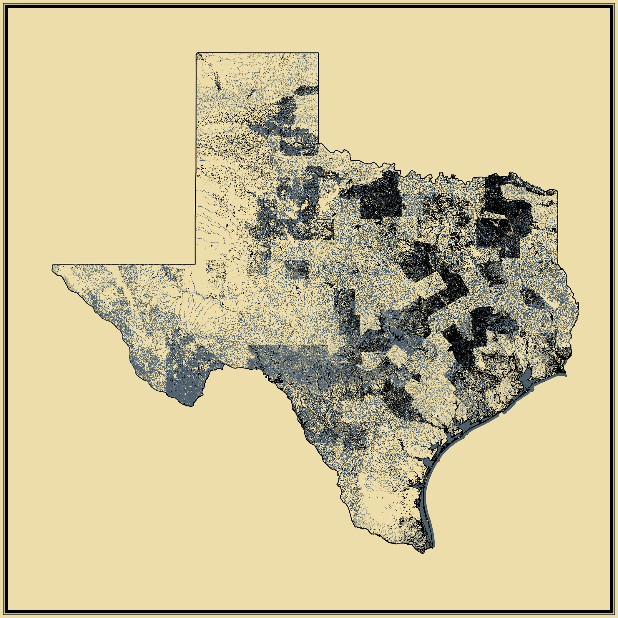
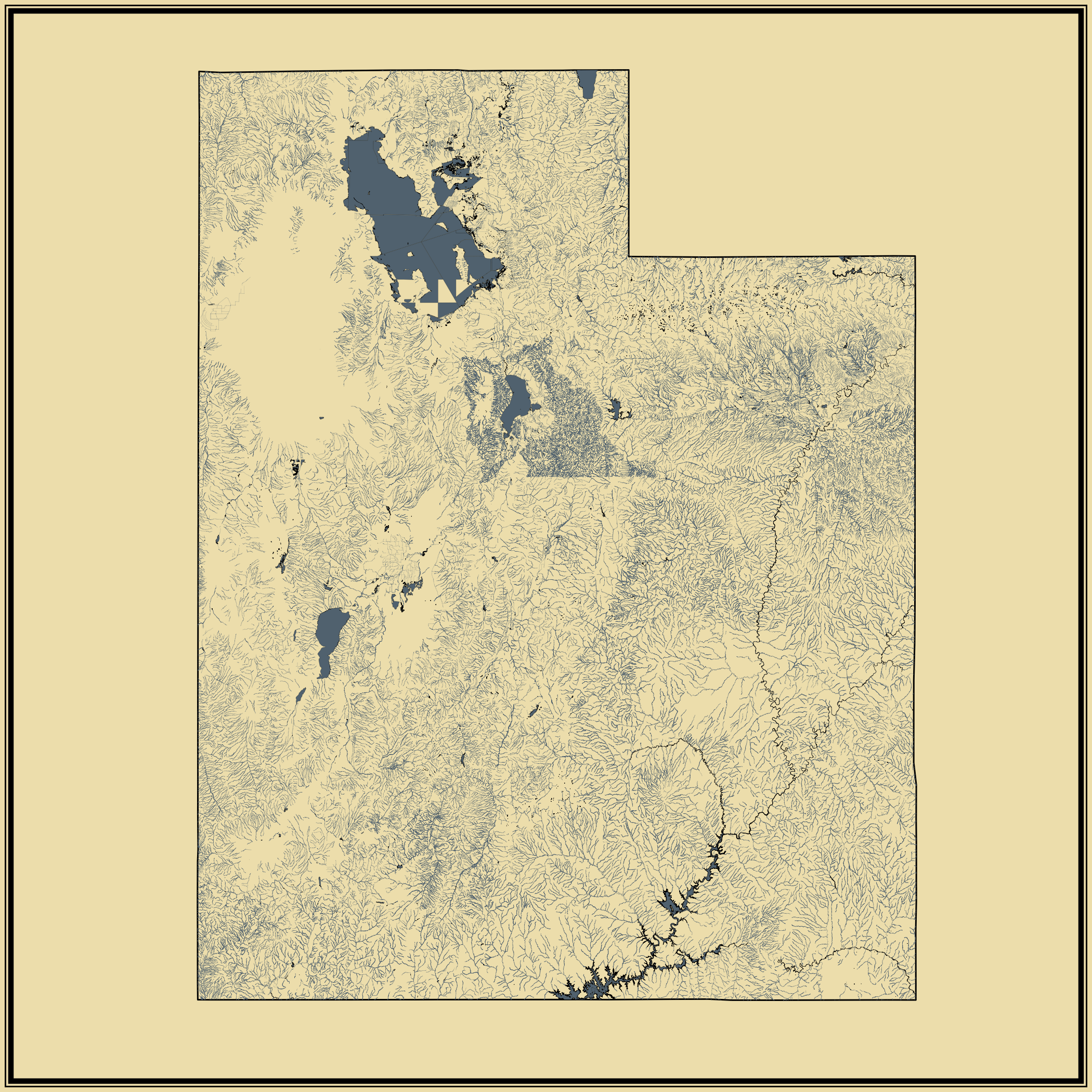

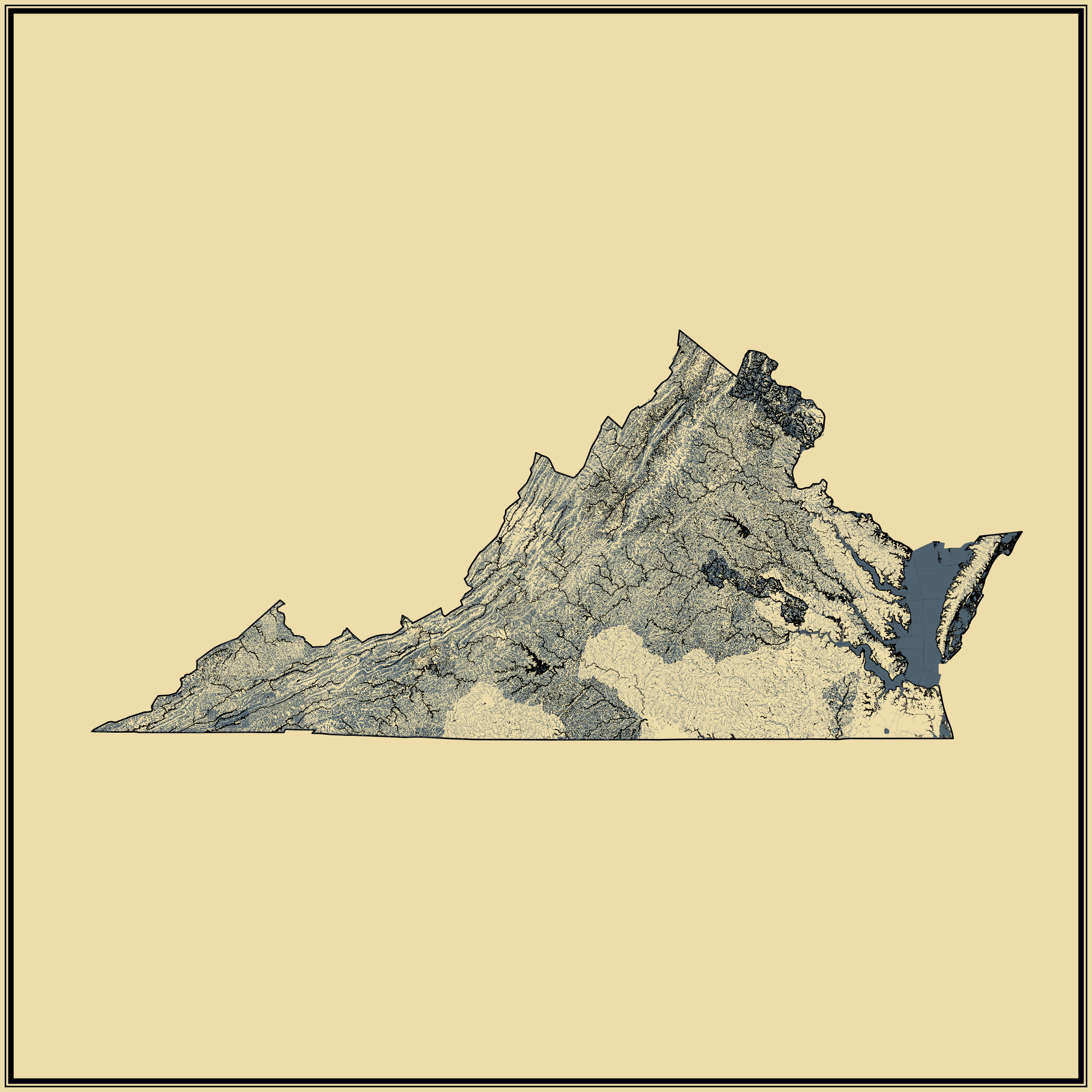
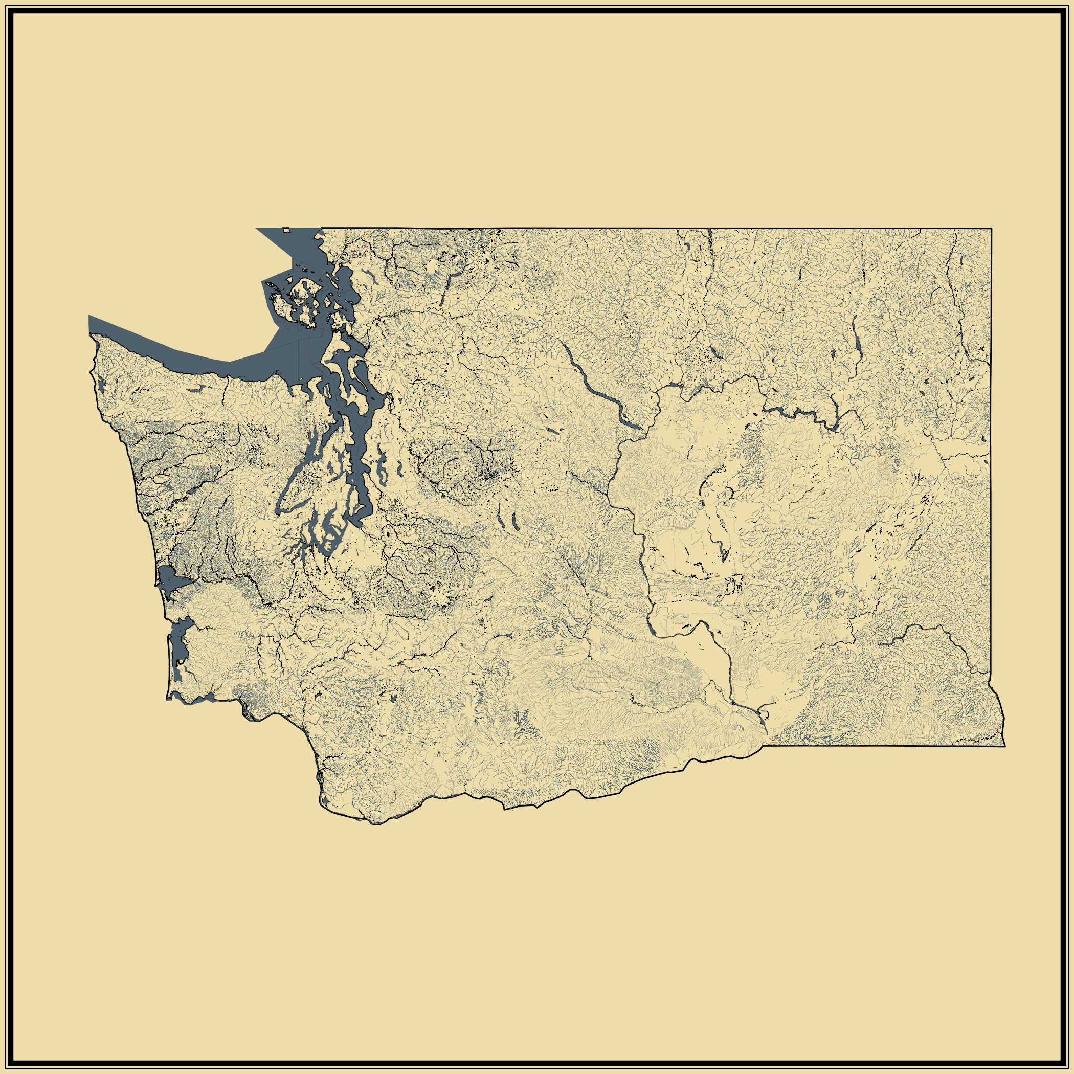


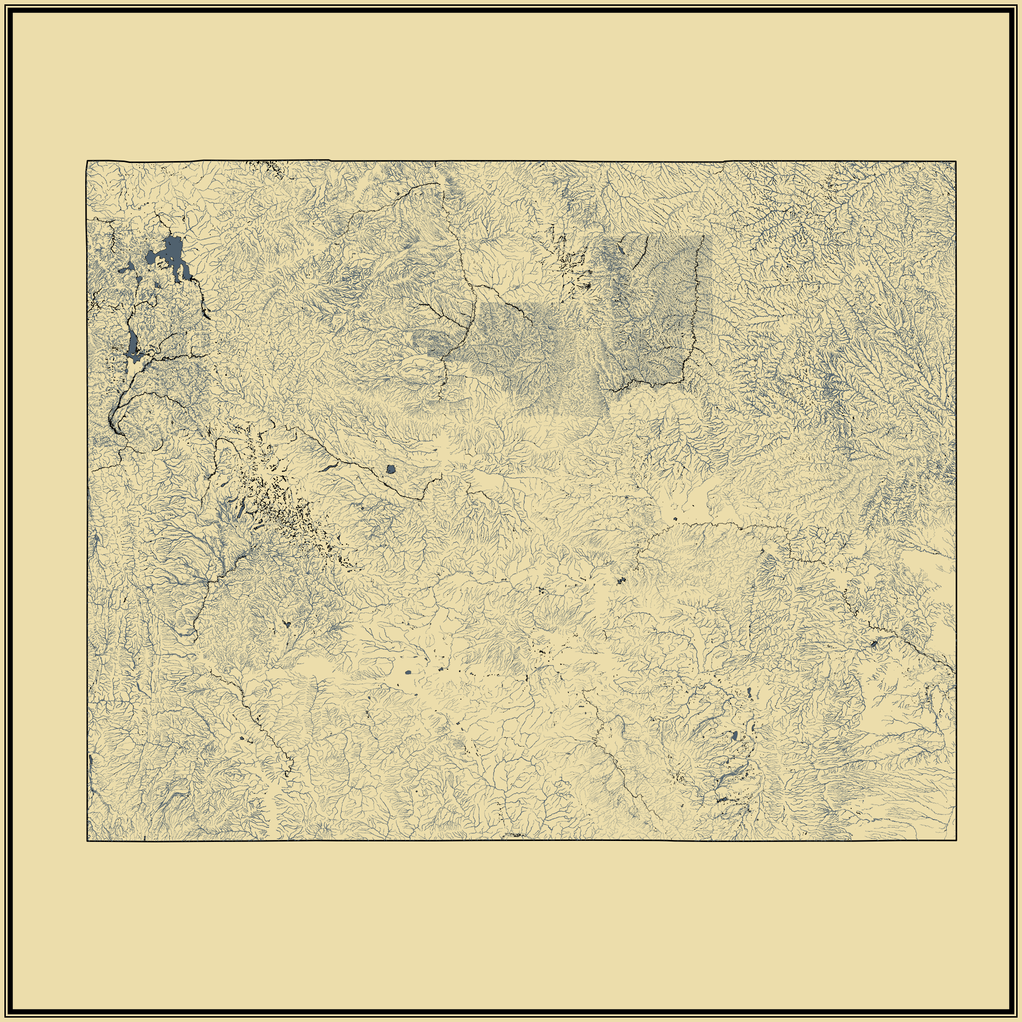
Streams and rivers are shown with individual blue lines, and larger bodies of water are filled blue areas. Only naturally occurring bodies of water are shown (versus man-made).
While this set of maps shows data in much more detail than the national map, note that levels of detail can vary across counties. So for some states, such as Kansas and New Mexico, there are clear and sudden changes in density at county lines. Changes like this are more likely artifacts of sampling and measurement than they are actual occurrences.


